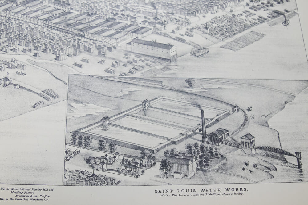
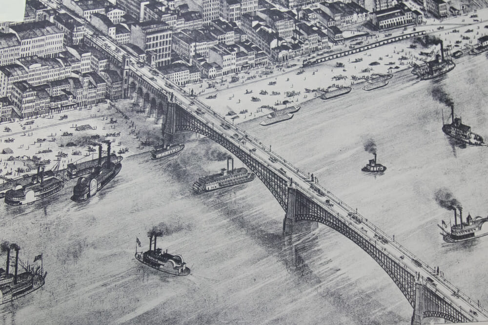
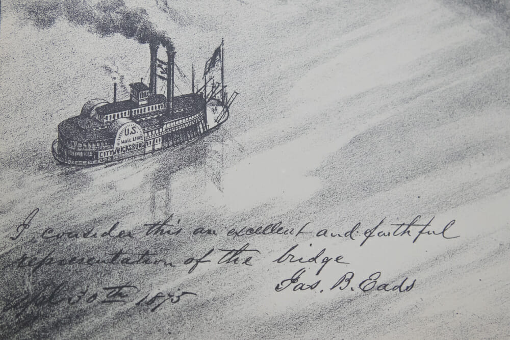
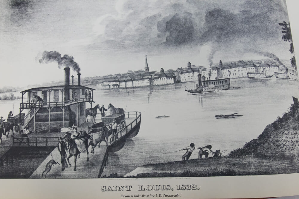
Fourth-grade students stepped back in time to explore the city of St. Louis through the lens of Pictorial St. Louis, a multiple-plate atlas of the city created in 1875. The Library of Congress digitized the original book in high-definition images which are now available online. To bring it closer to home, the MICDS Lower School Library has a replica of the book made in 1975. A former Mary Institute history teacher, Sylvia Adams, who taught from 1983 to 1985, donated it to the School.
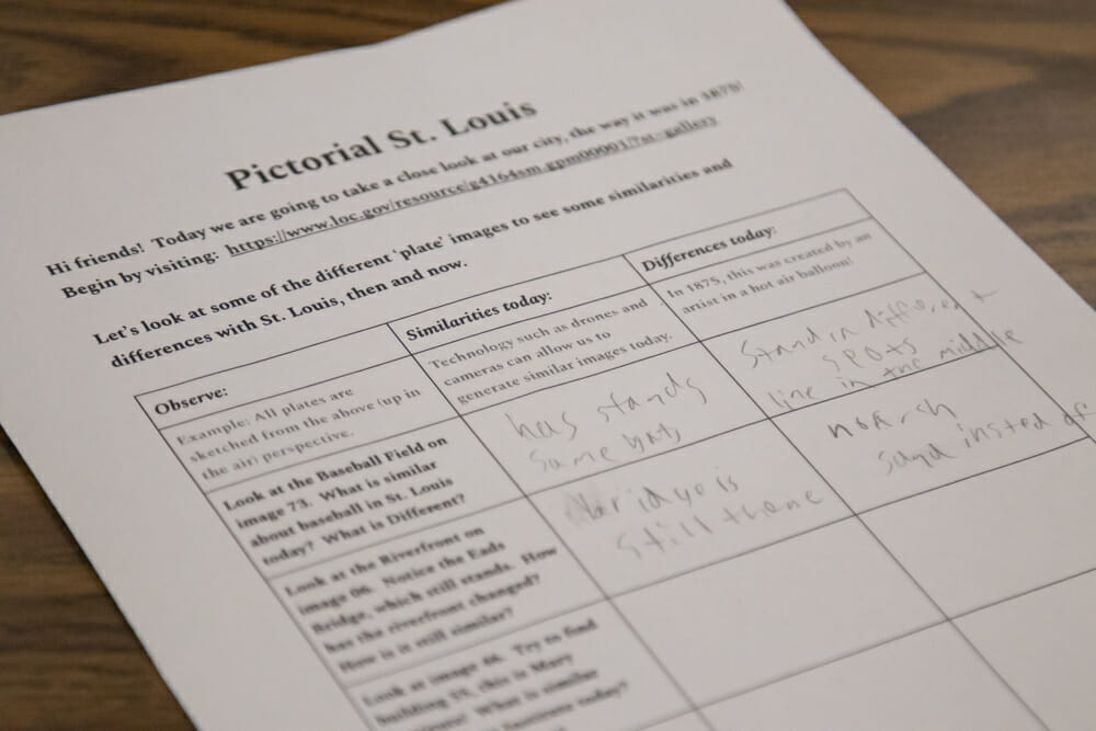
Lower School Librarian Thomas Buffington and Library Associate Nicole Liebman were excited to point out specific landmarks to the students and discuss the similarities and differences between then and now. „We guided students through a scavenger hunt to chart the plates sketched with a birds-eye view in a hot air balloon and to note the unique differences and similarities between the drawings and what they know of St. Louis today,“ said Buffington. „We pointed out that in today’s world, we wouldn’t use a hot air balloon; we’d use a helicopter or even a drone to get an overhead view.“
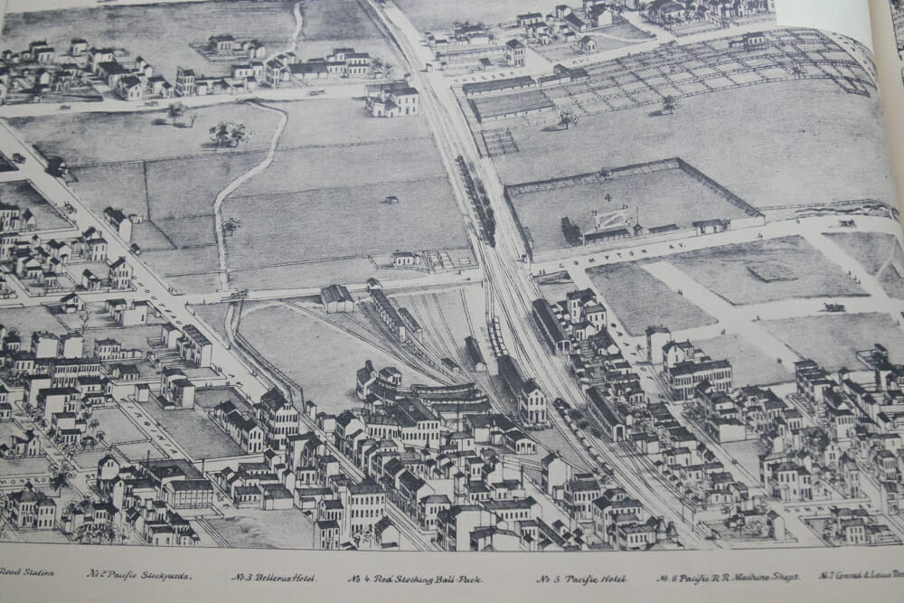
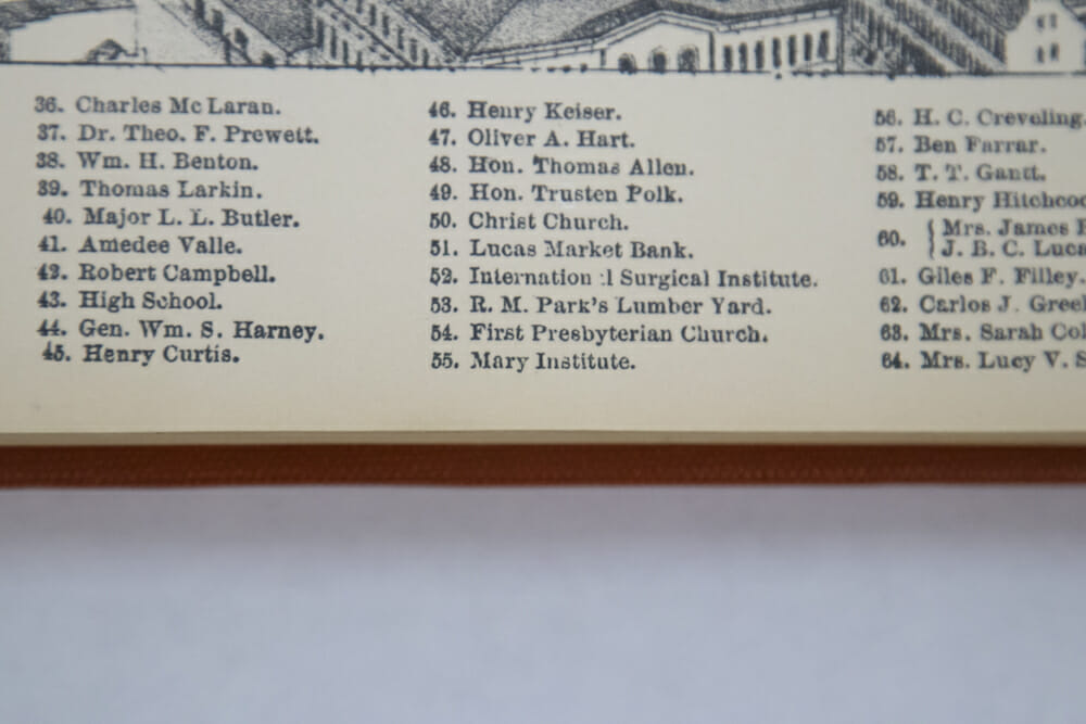
When looking at the original baseball field, then called „Red Stocking Ball Park,“ students remarked, „The baseball field is so tiny, and the stands are small!“ and „We still have a baseball team, we still have a stadium for them in the city, but now it has a different shape and is much bigger!“ Next, students found the former Locust Street location of the original Mary Institute building and explored the landscape beyond, shouting excitedly, „Look at the Eads bridge! And the Mississippi River!“
Students even learned how the handwriting in the book differs from the handwriting we see today. Thank you, Mr. Buffington and Ms. Liebman, for offering fourth-graders a fun way to explore St. Louis history using this in-depth digital and hands-on experience!
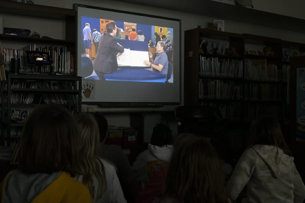
What will you explore in St. Louis next? Visit the online version of Pictorial St. Louis here and watch a 2014 episode of Antiques Roadshow here where the book is valued by an appraiser.
