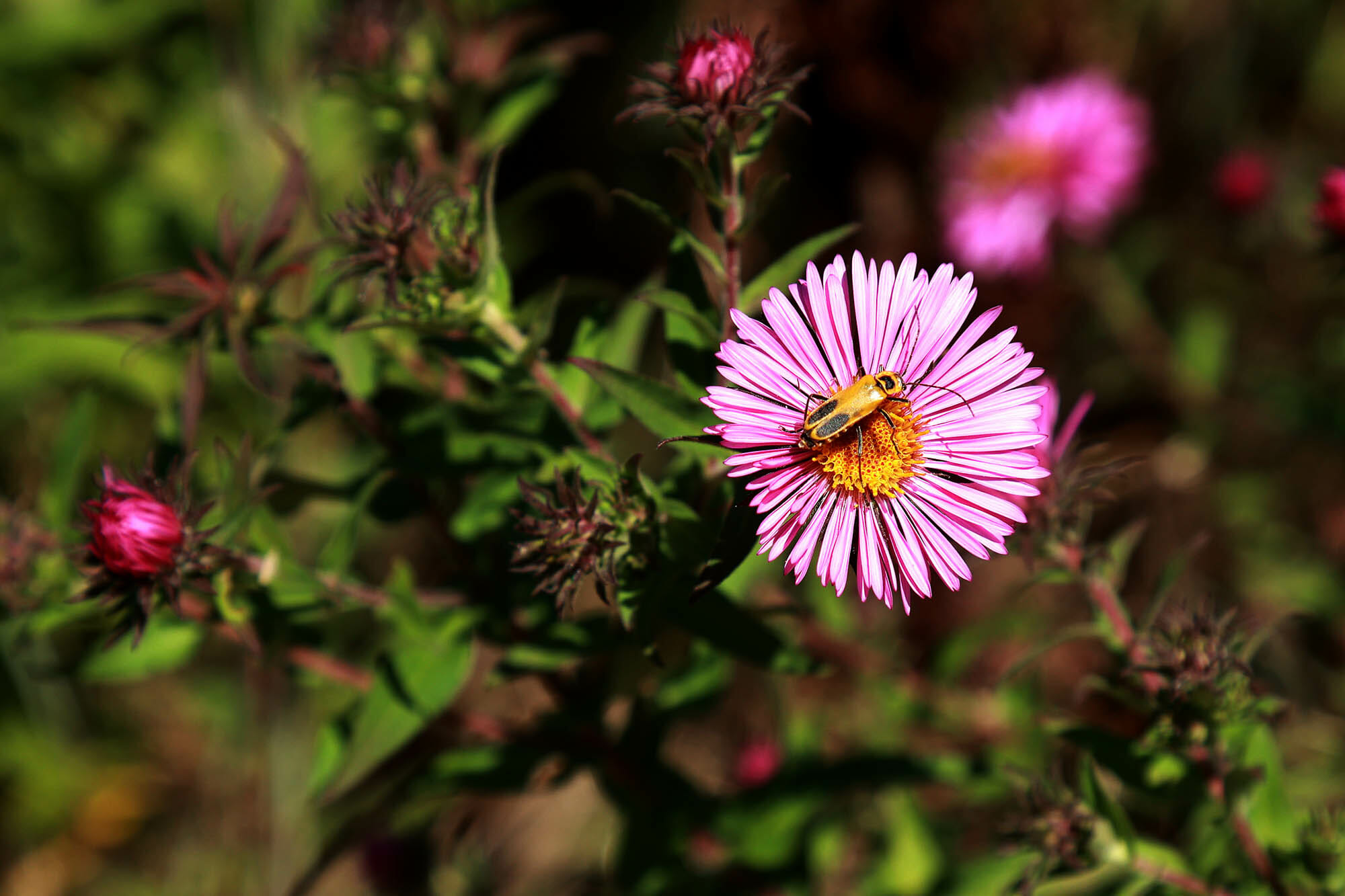
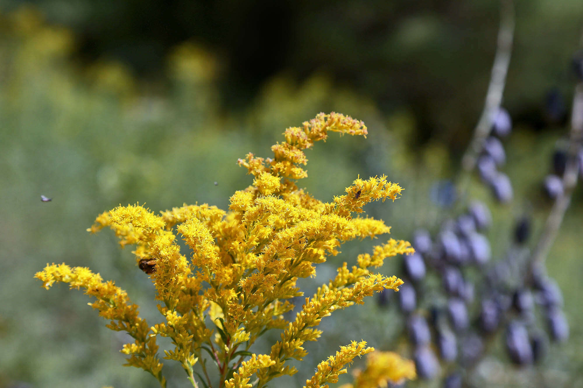
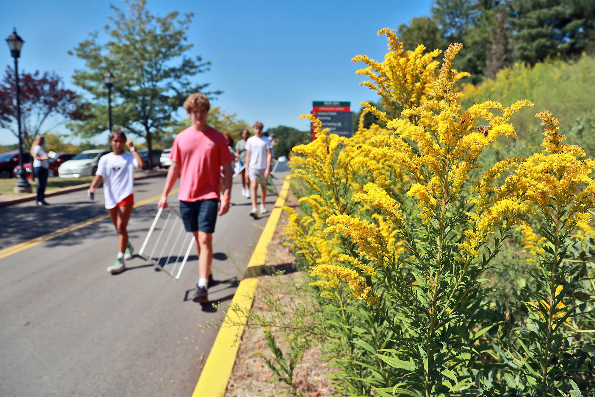
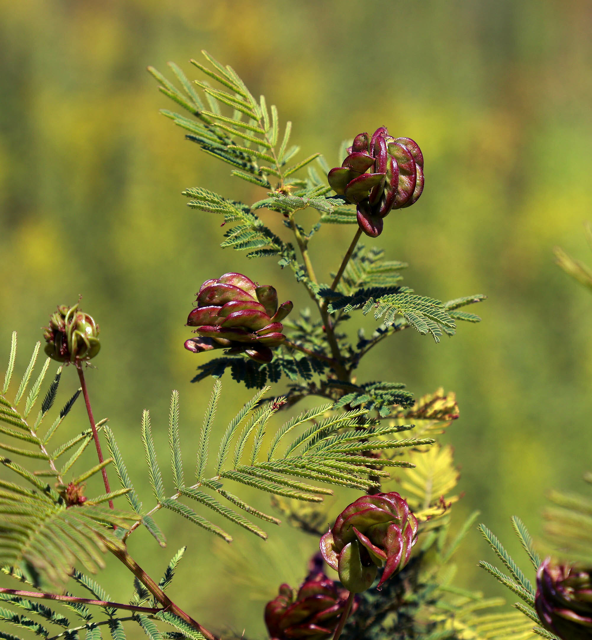
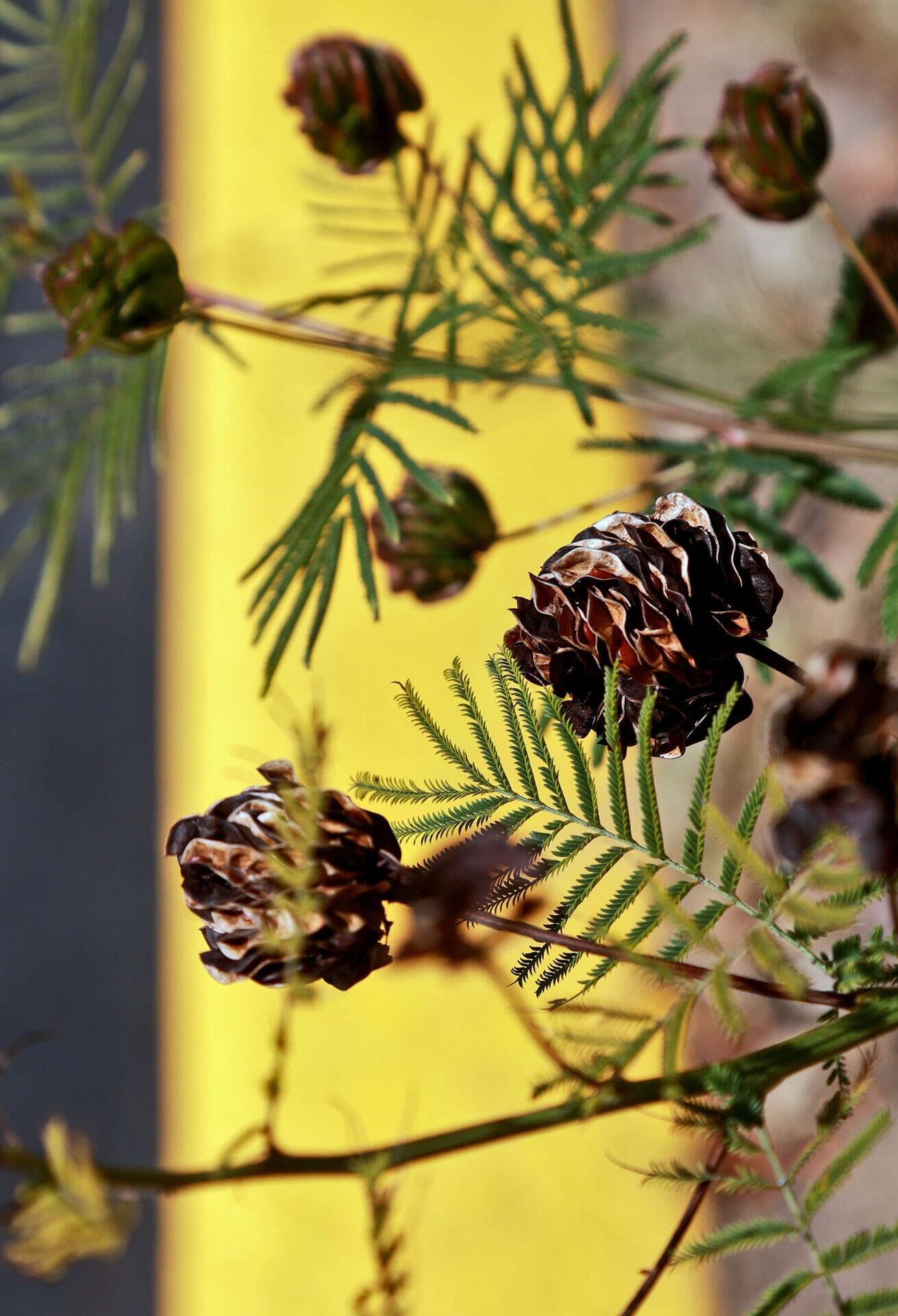
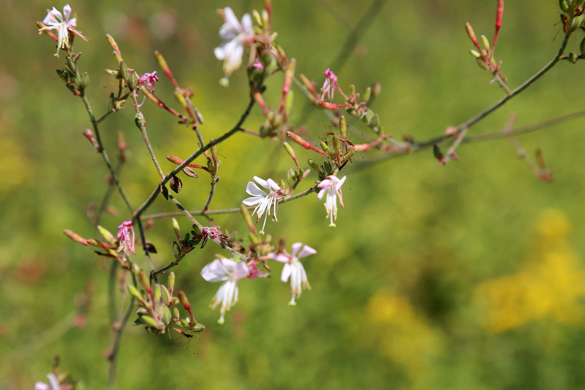
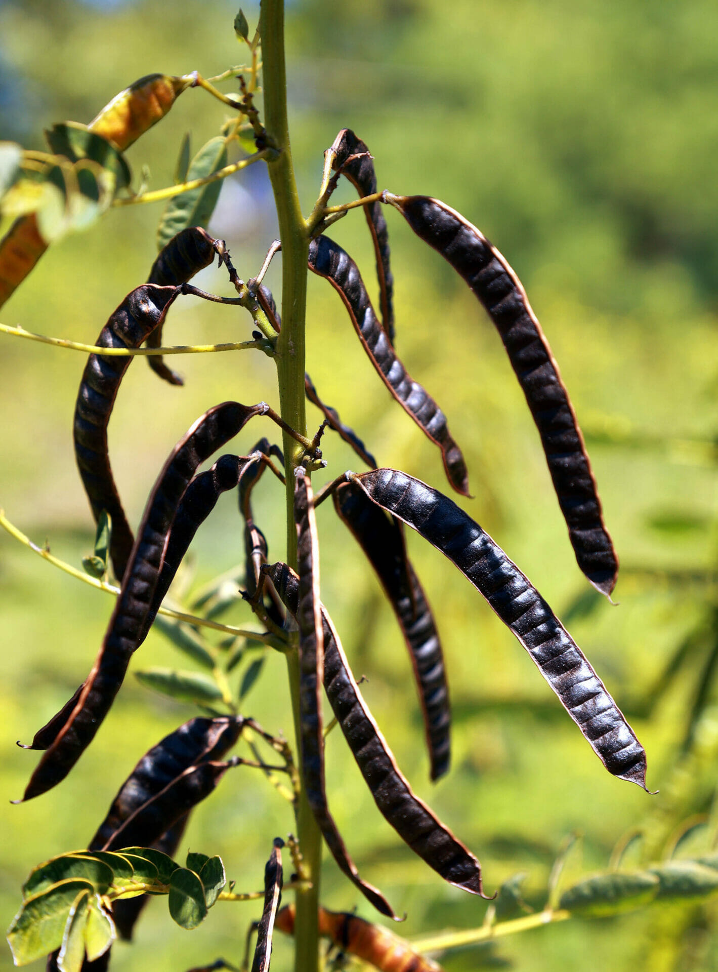
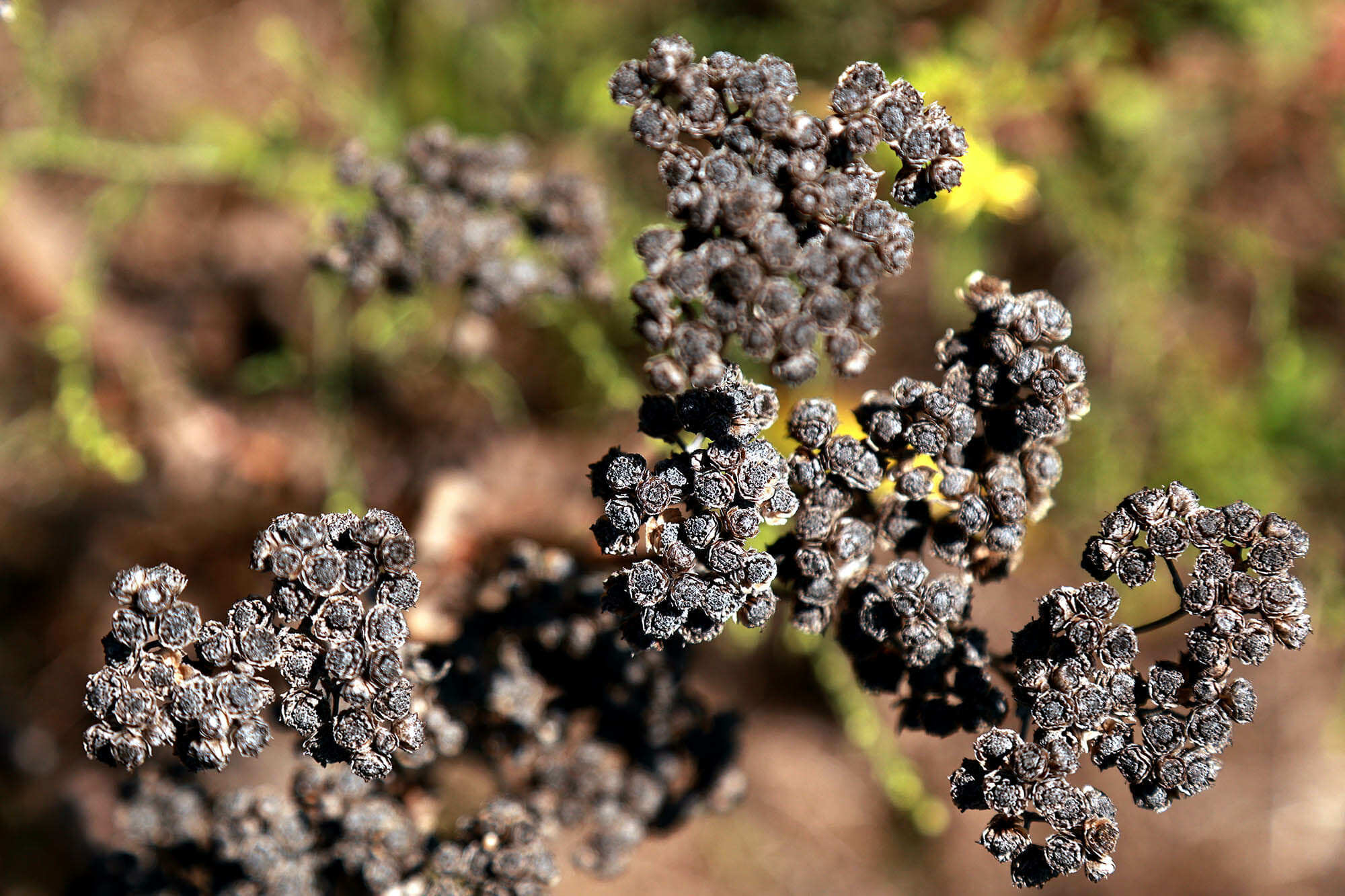
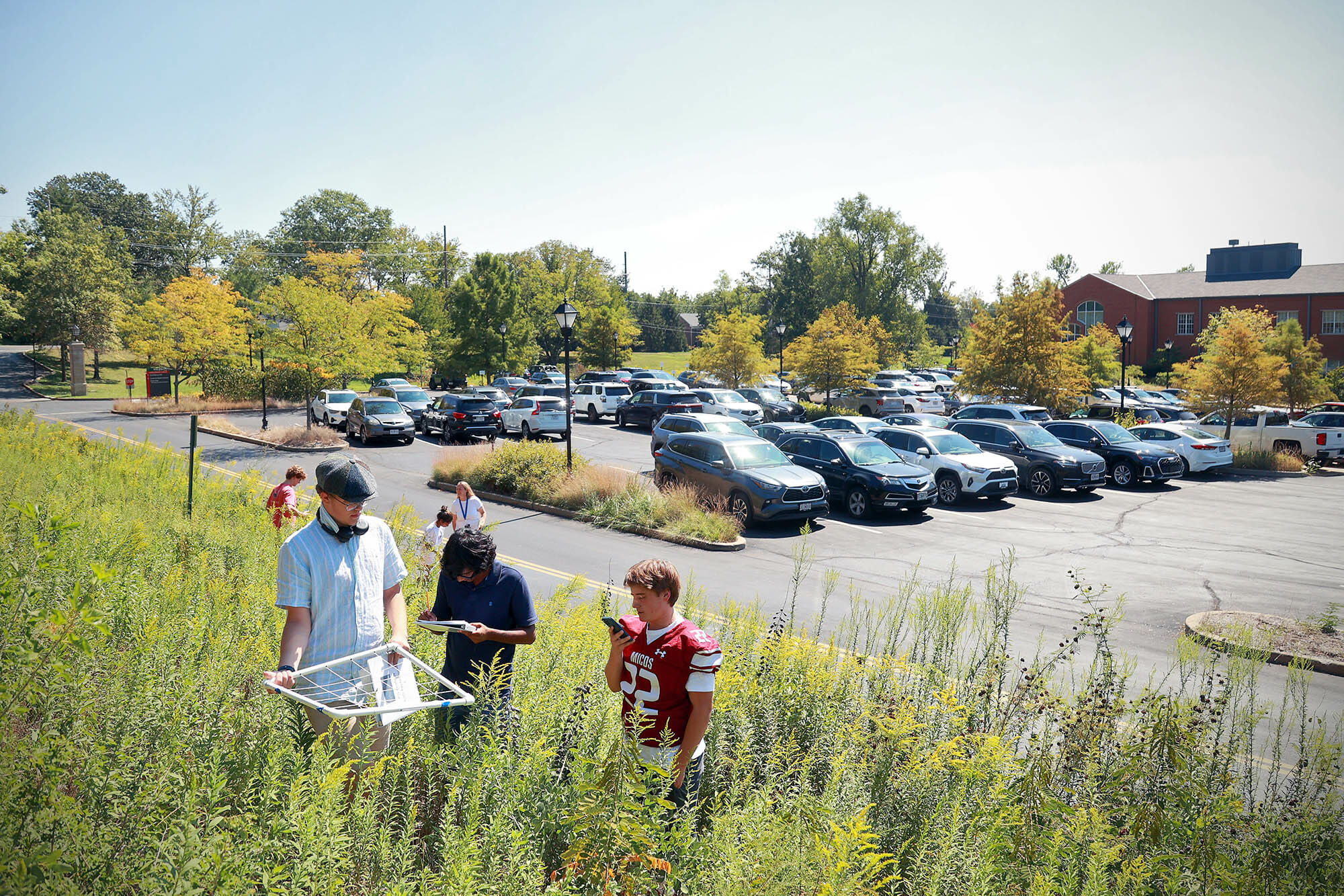
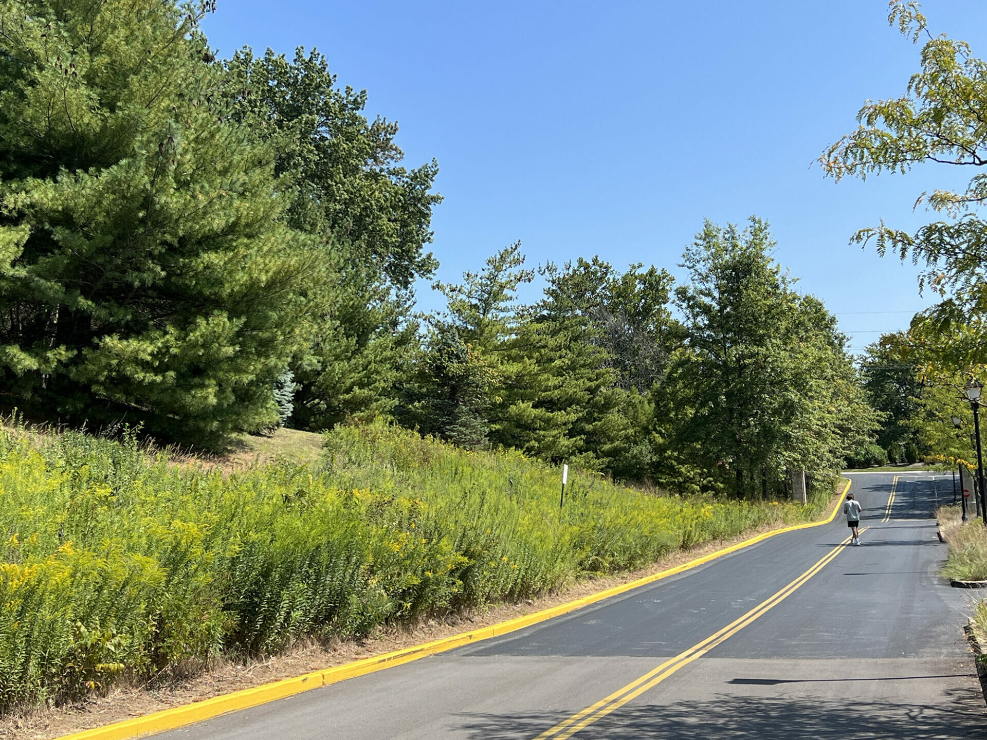
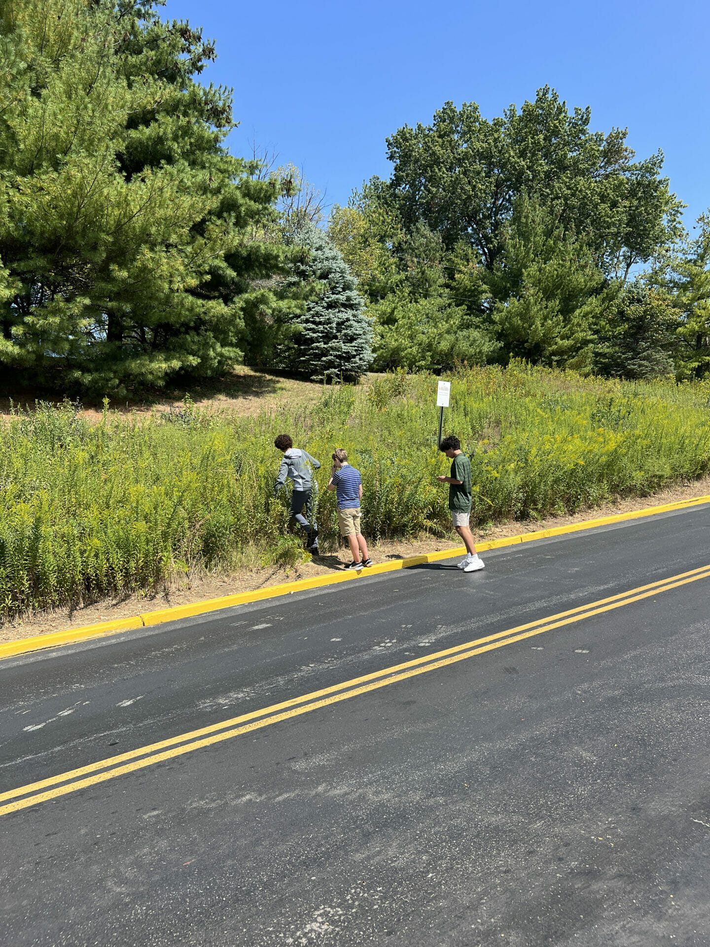
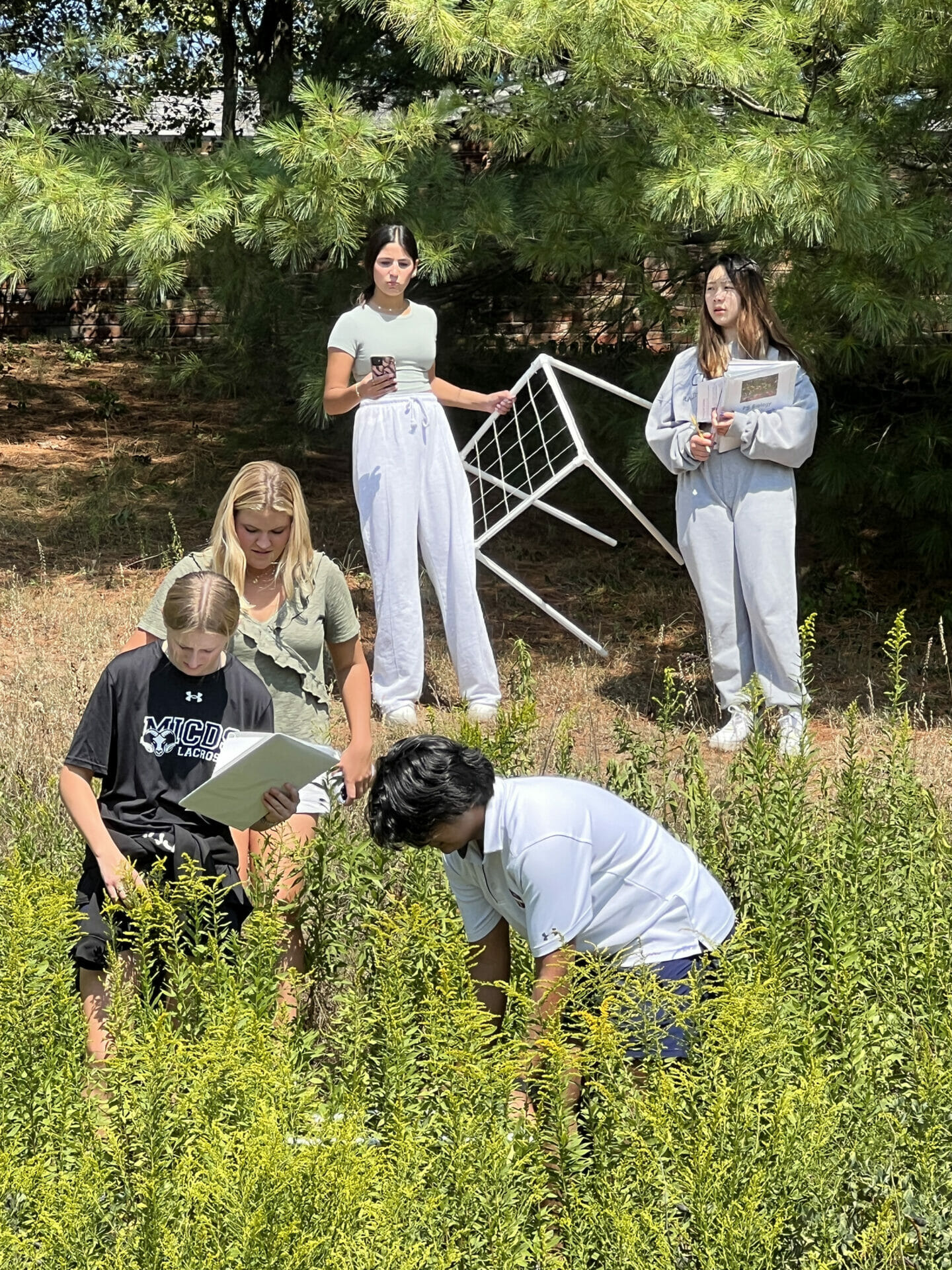
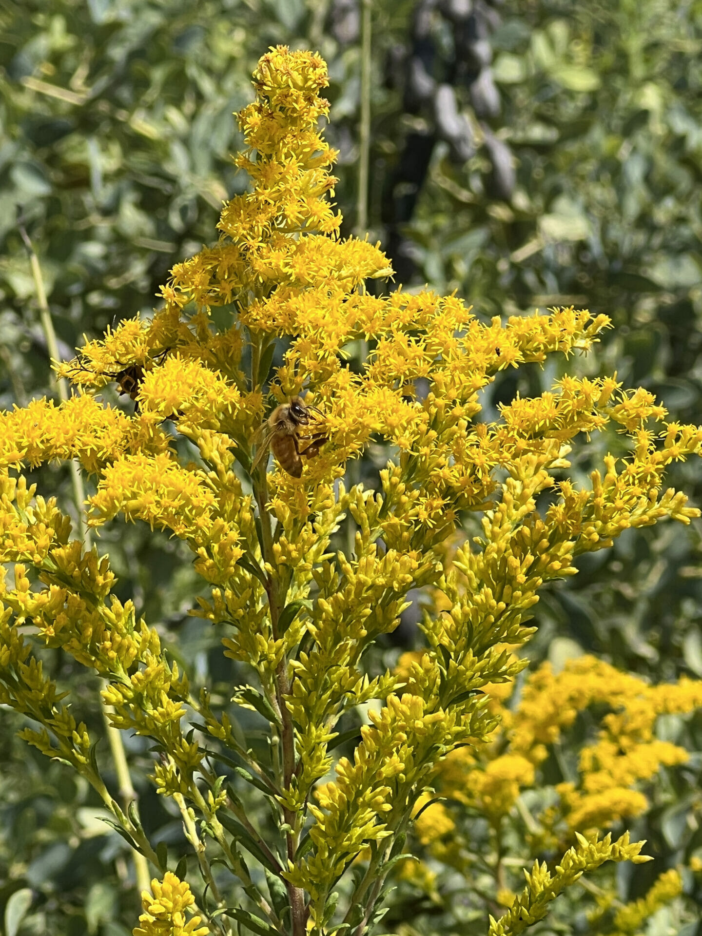
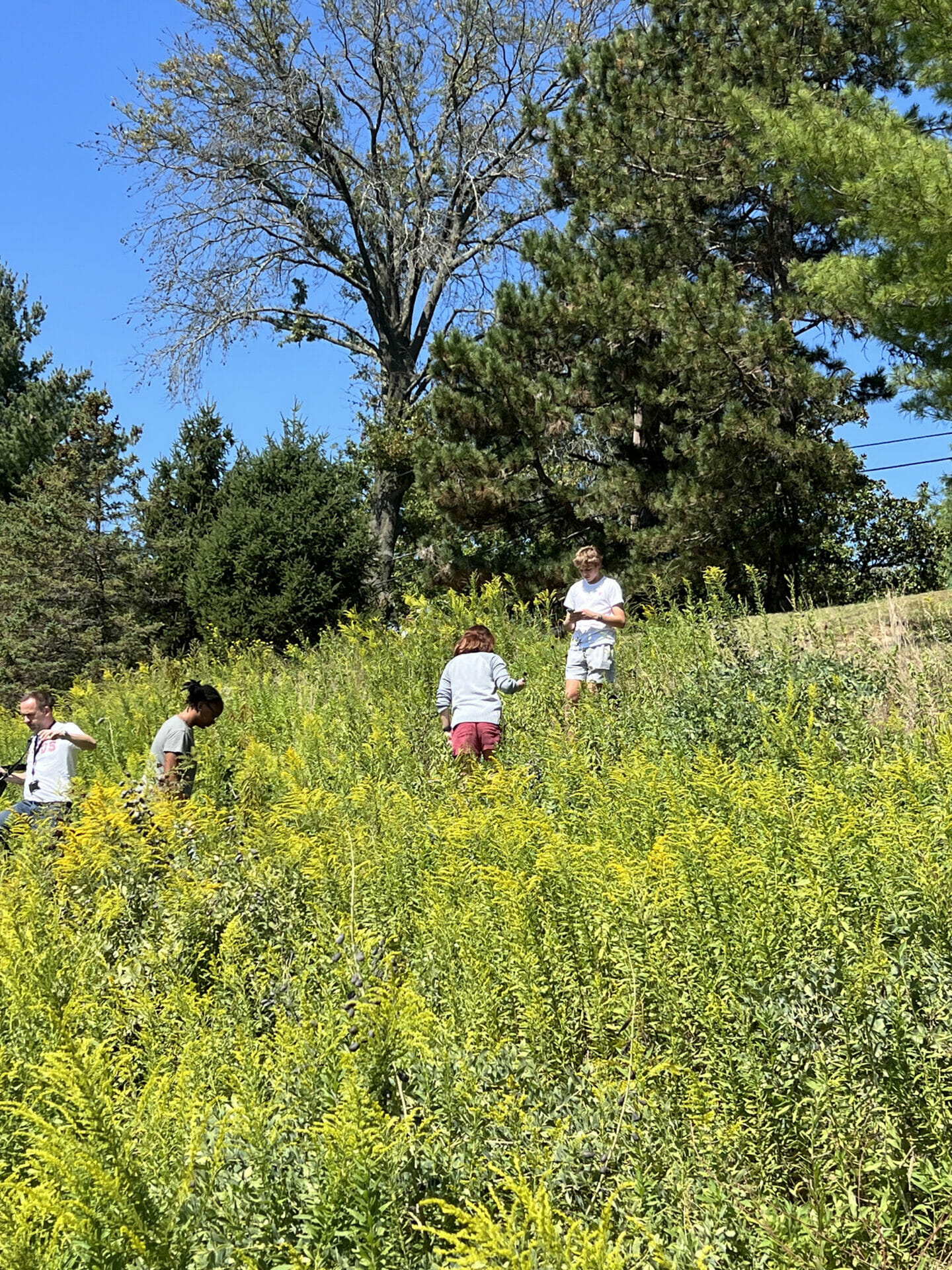
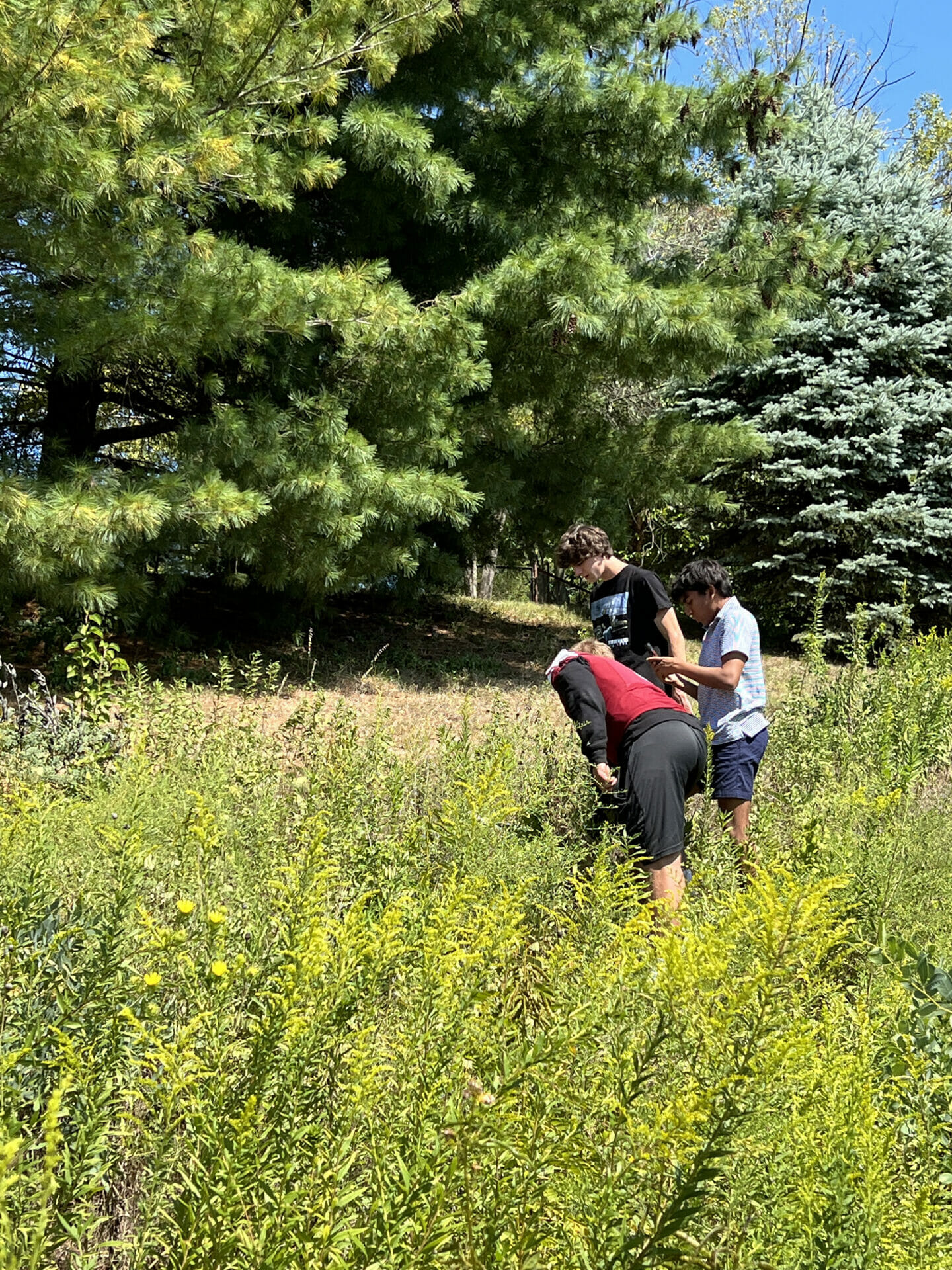
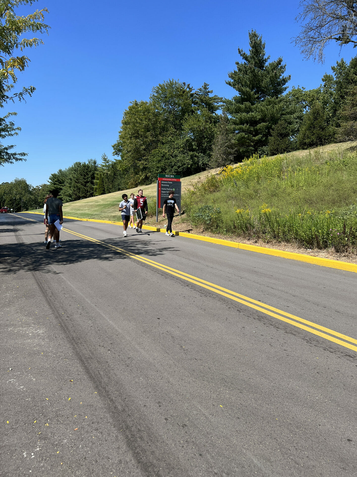
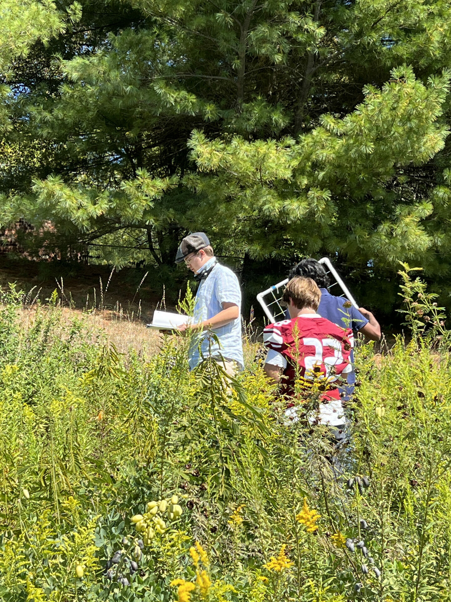
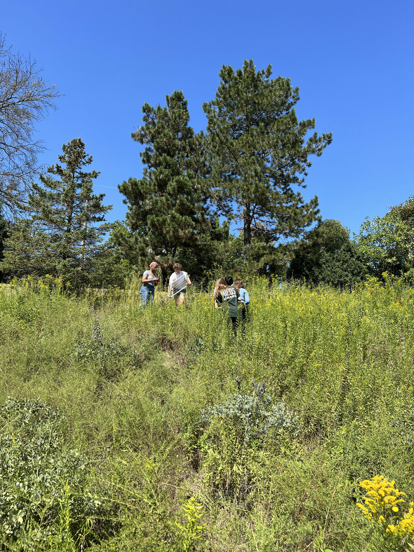
If you’ve driven into A Lot off Warson Road and looked to the right, you may have seen a sign poking out of the tall plants: Prairie Restoration Area. The hill is vibrant with a variety of plant life and, one would assume, the small creatures that enjoy a prairie lifestyle. Like the rest of our campus, this area is blooming with opportunities to learn, and Upper School Science Teacher Christine Pickett tasked the students in Problem-Solving Biology with an up-close and personal investigation. «This is for our Ecosystem Components and Health Unit based off of the United Nations Sustainability Goal 15 about biodiversity and terrestrial ecosystems,» said Pickett. The students are determining whether the MICDS Prairie Restoration zone is a healthy representation of a Missouri Prairie.
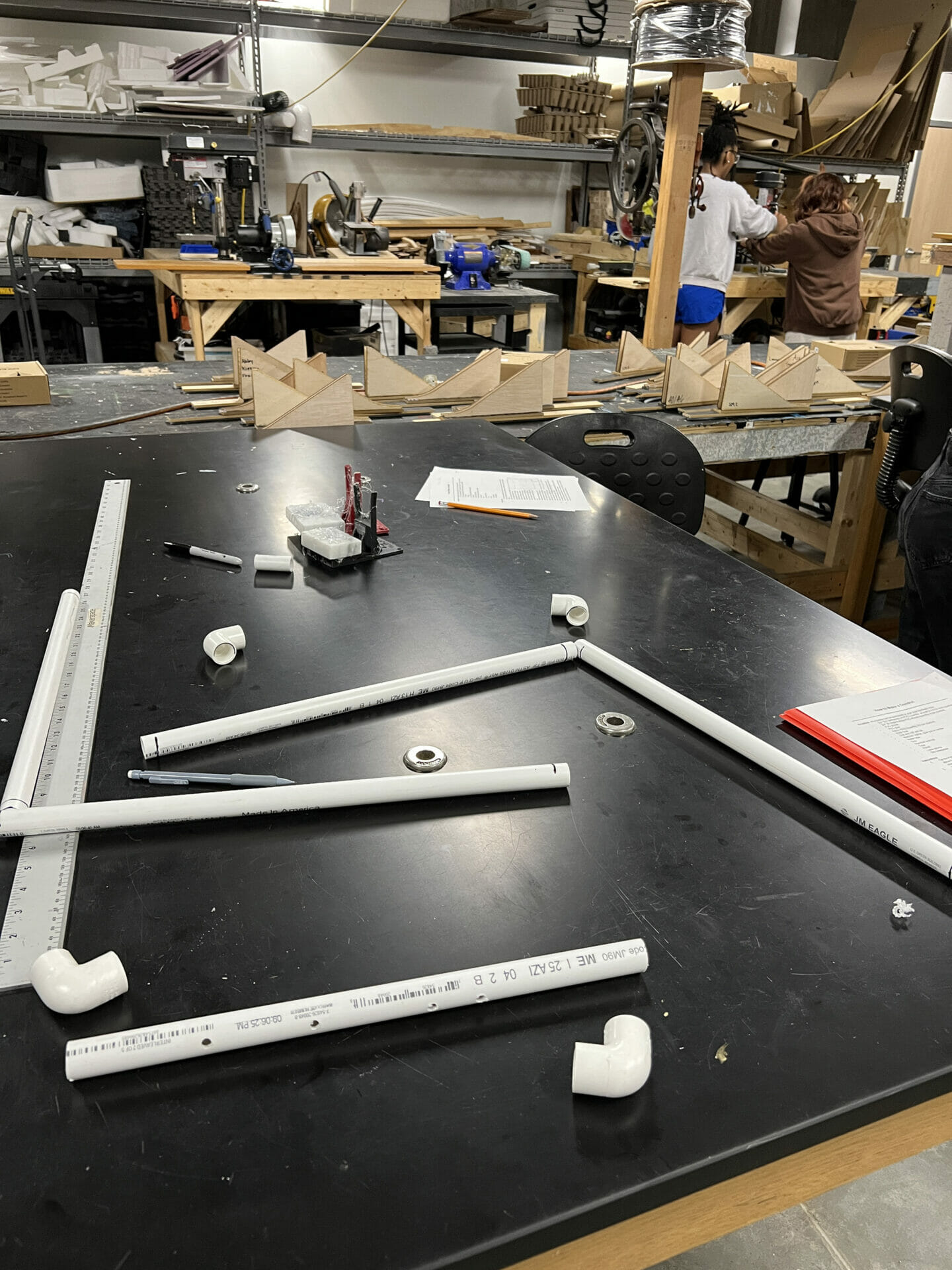
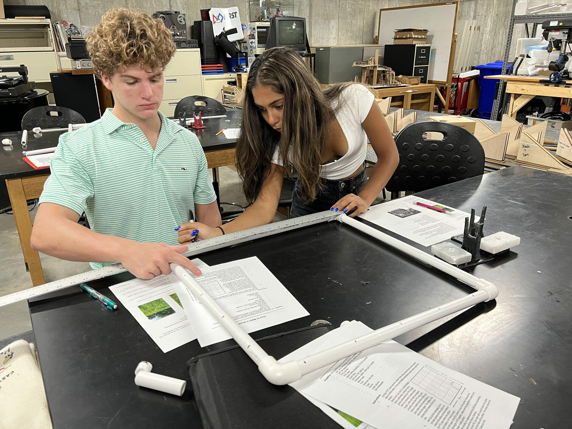
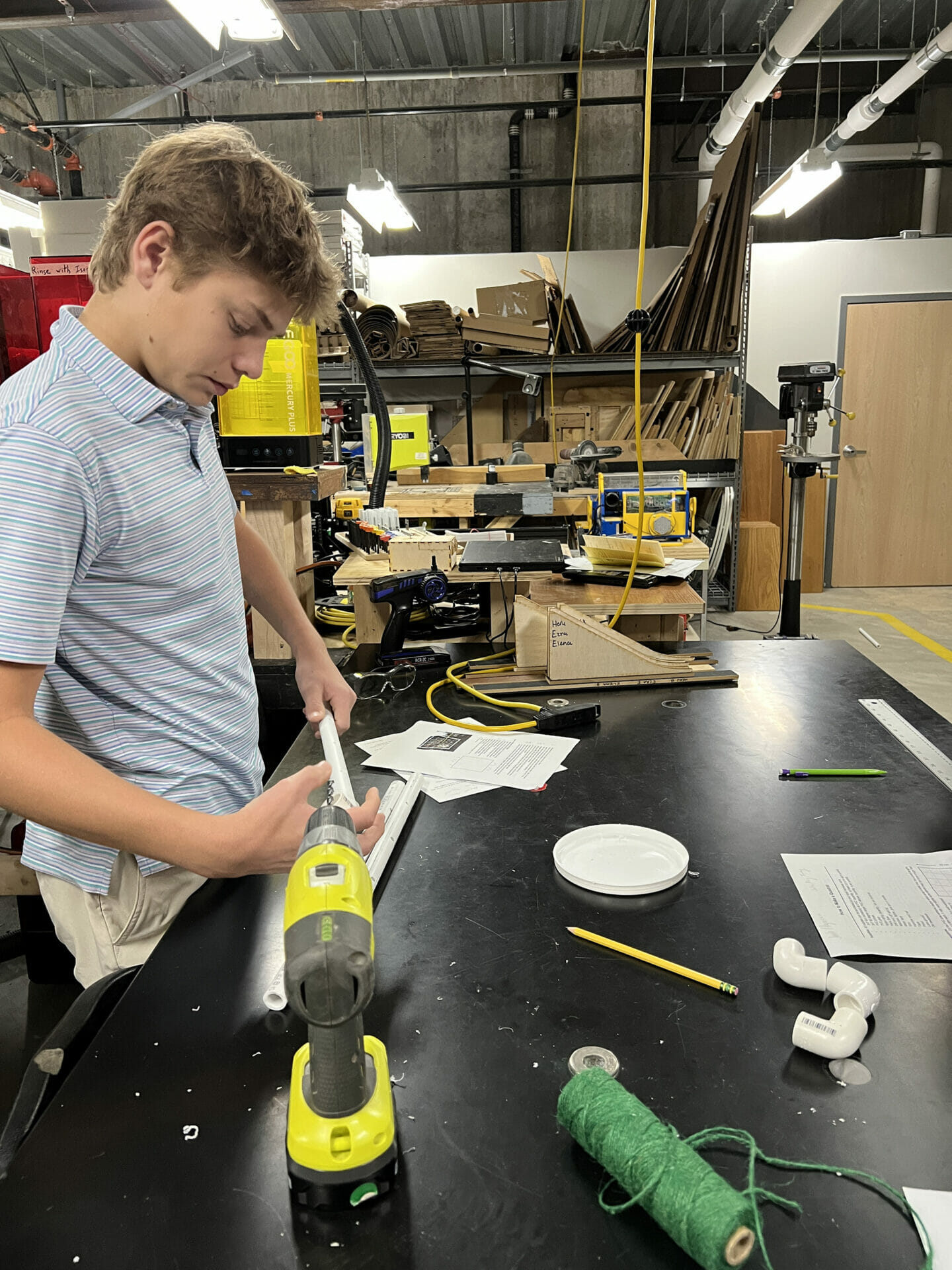
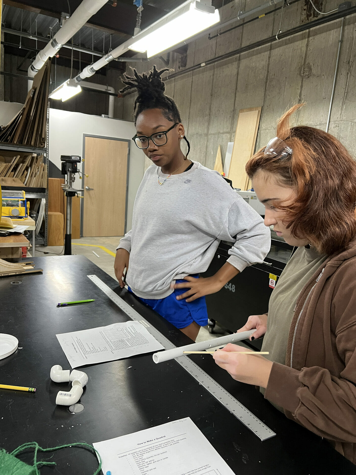
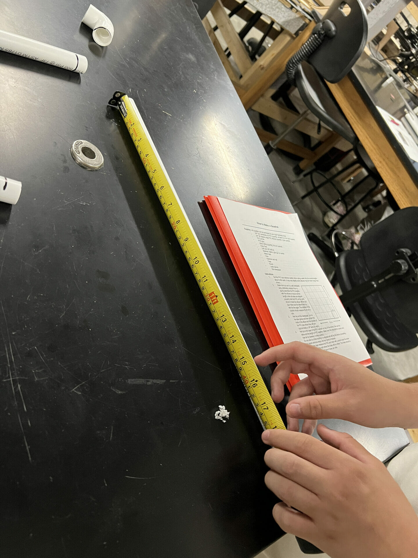
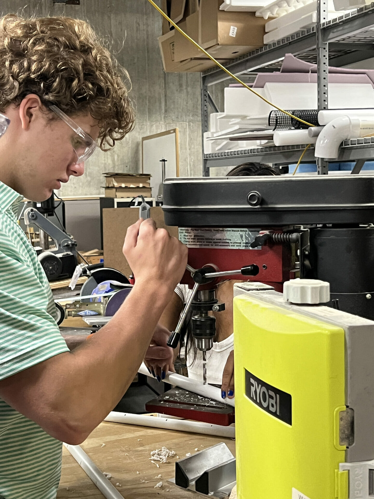
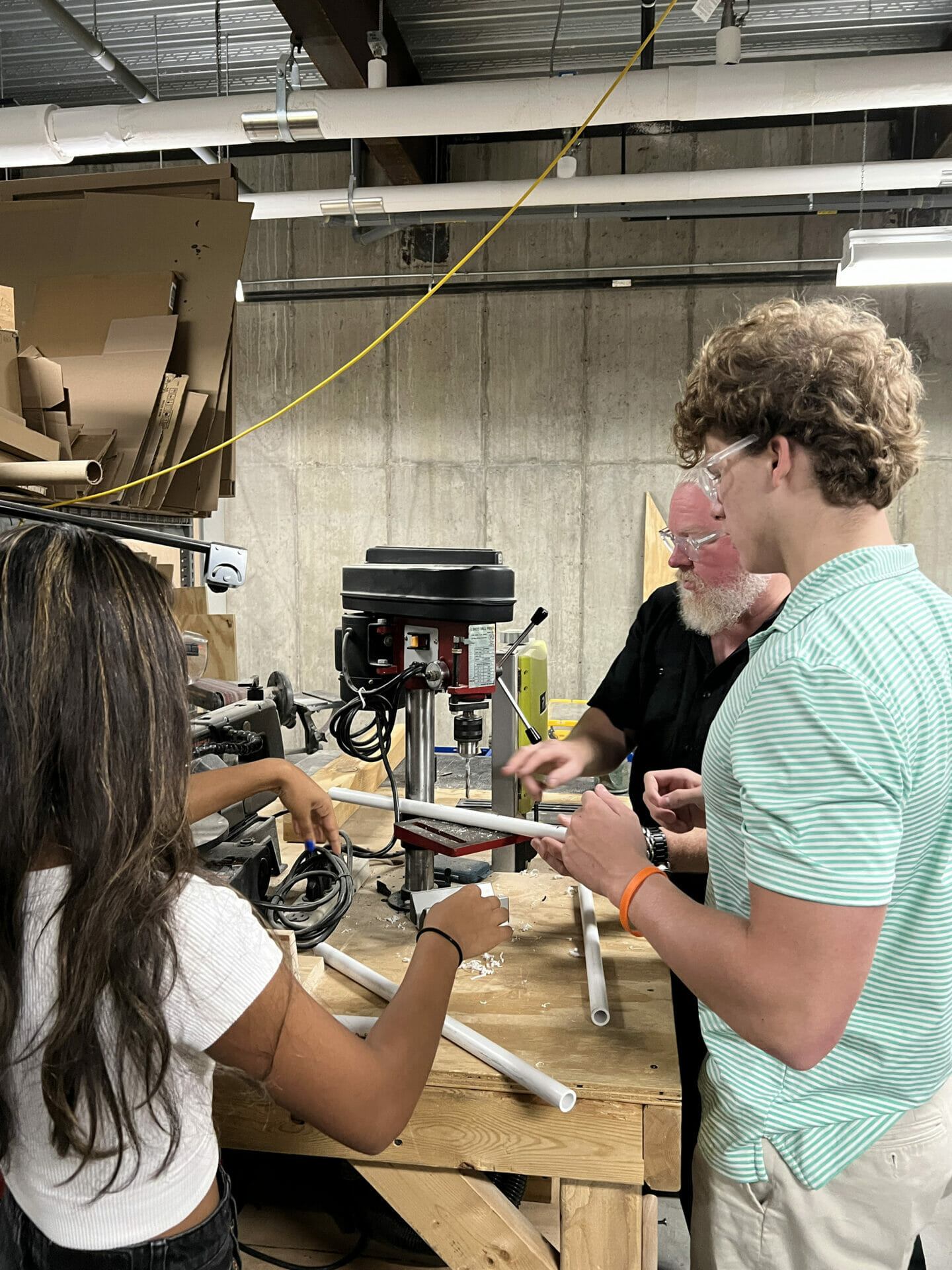
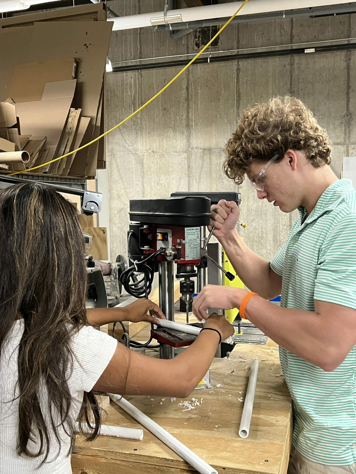
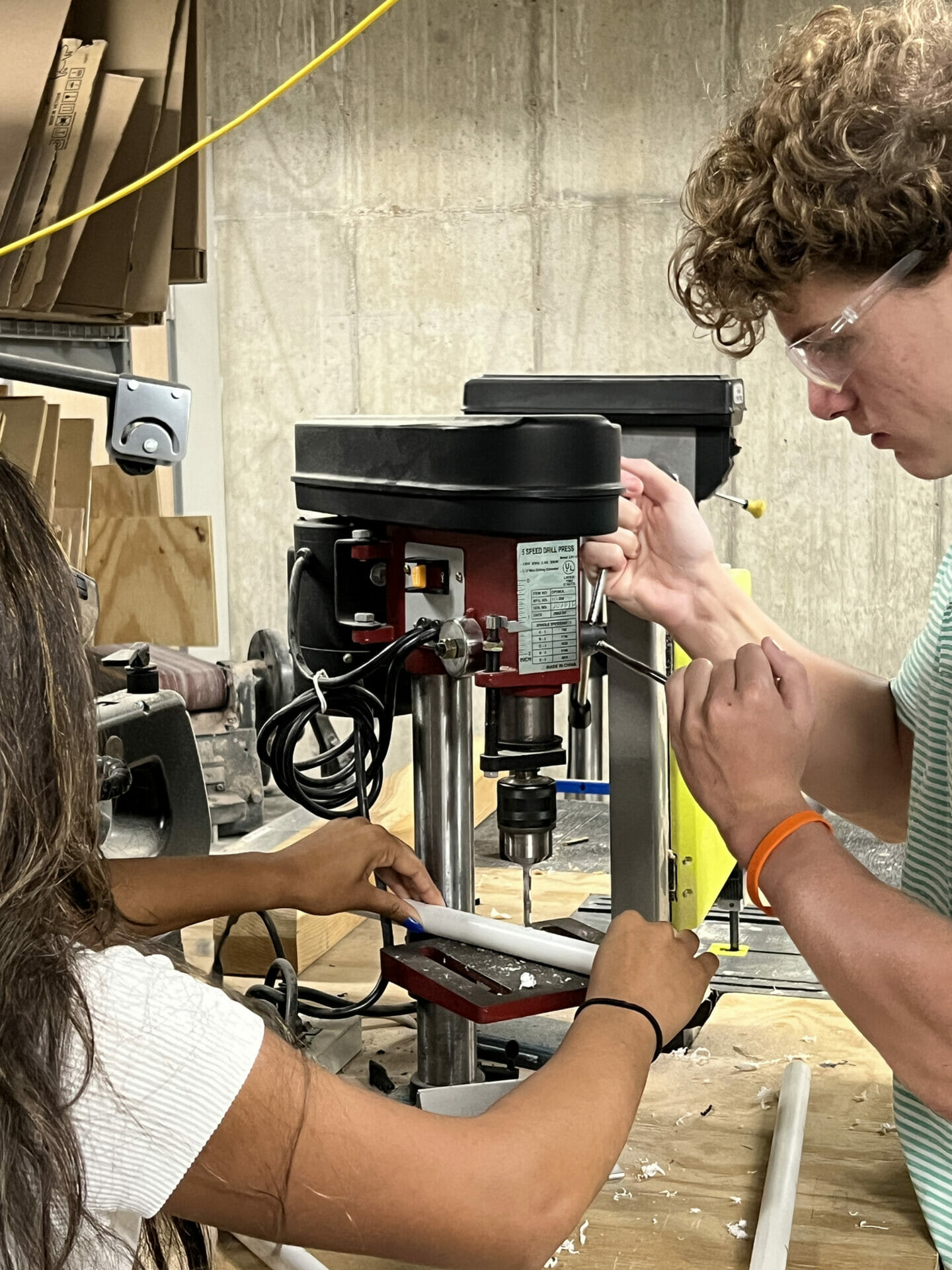
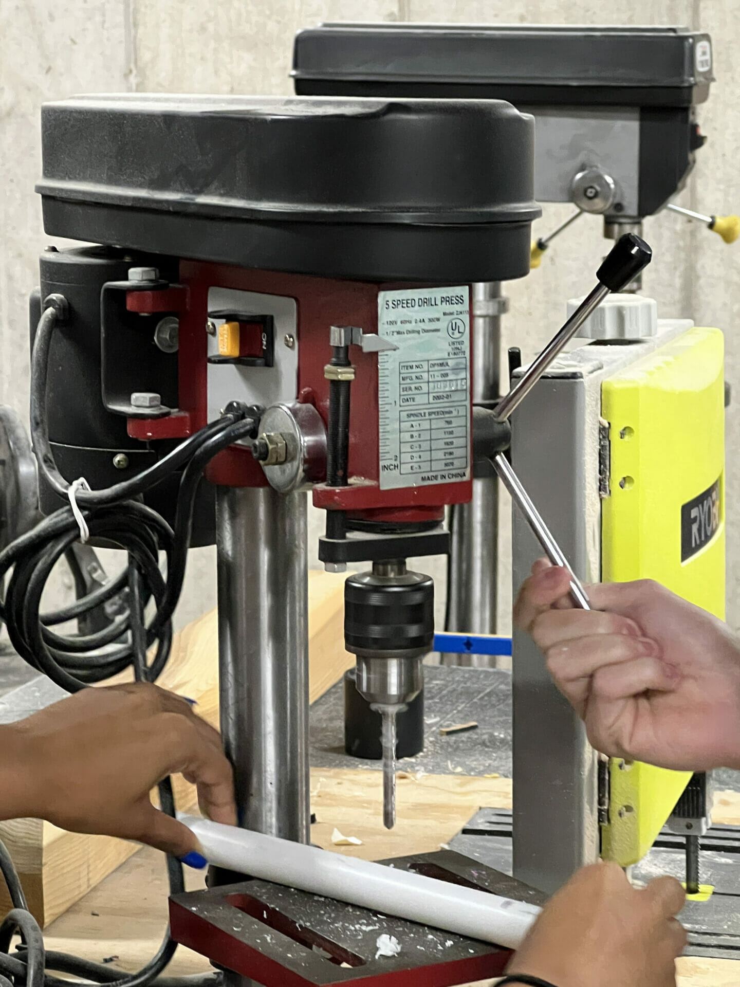
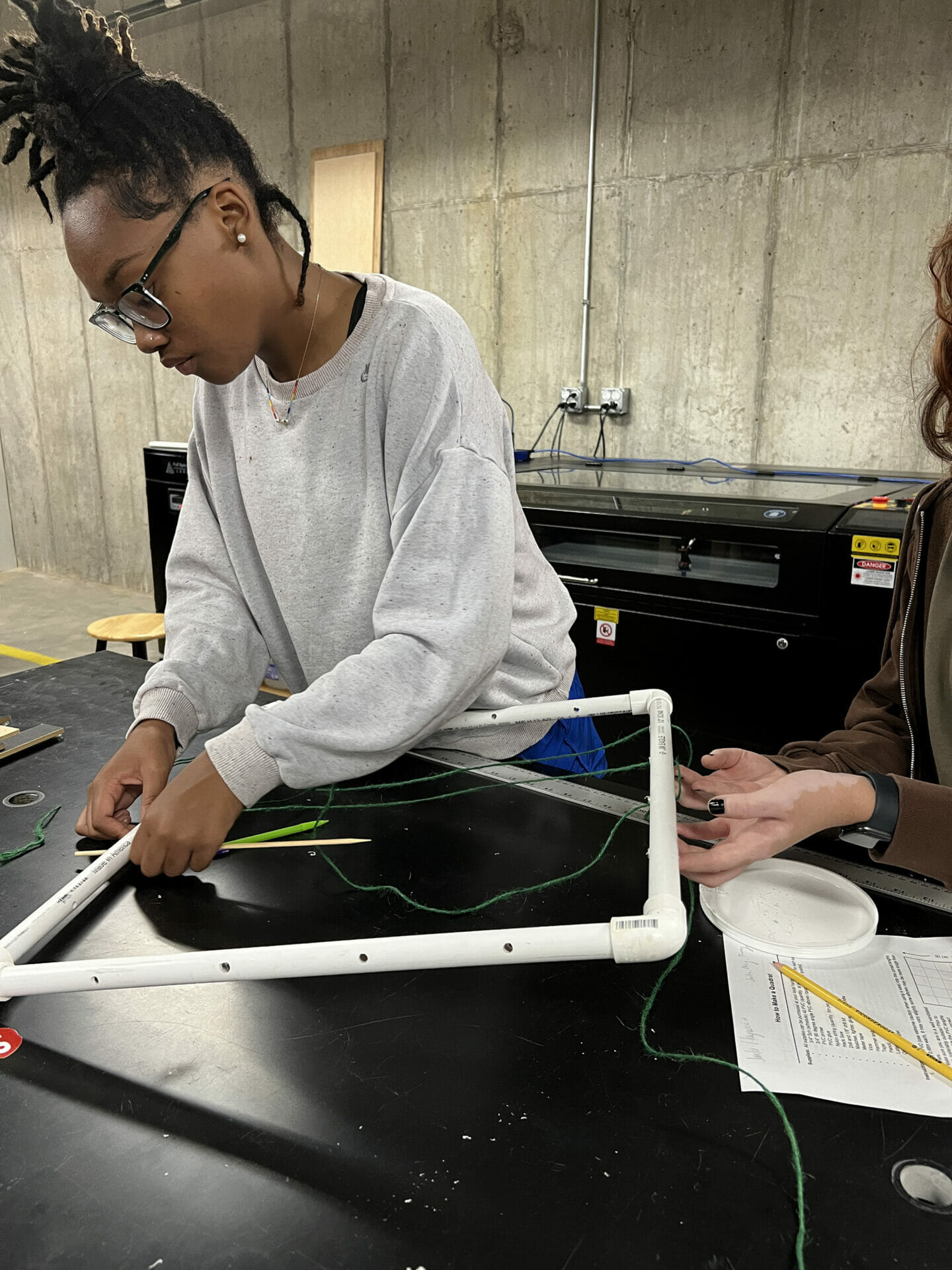
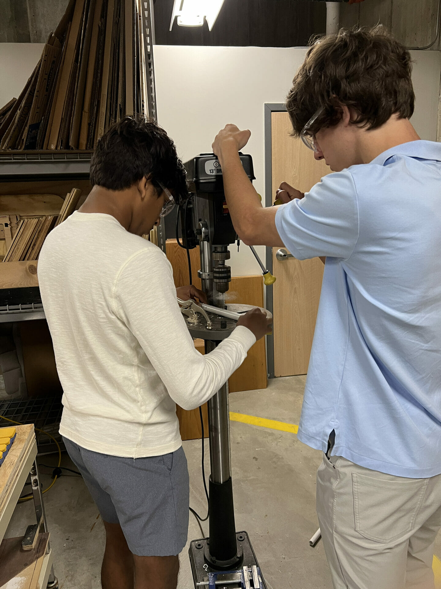
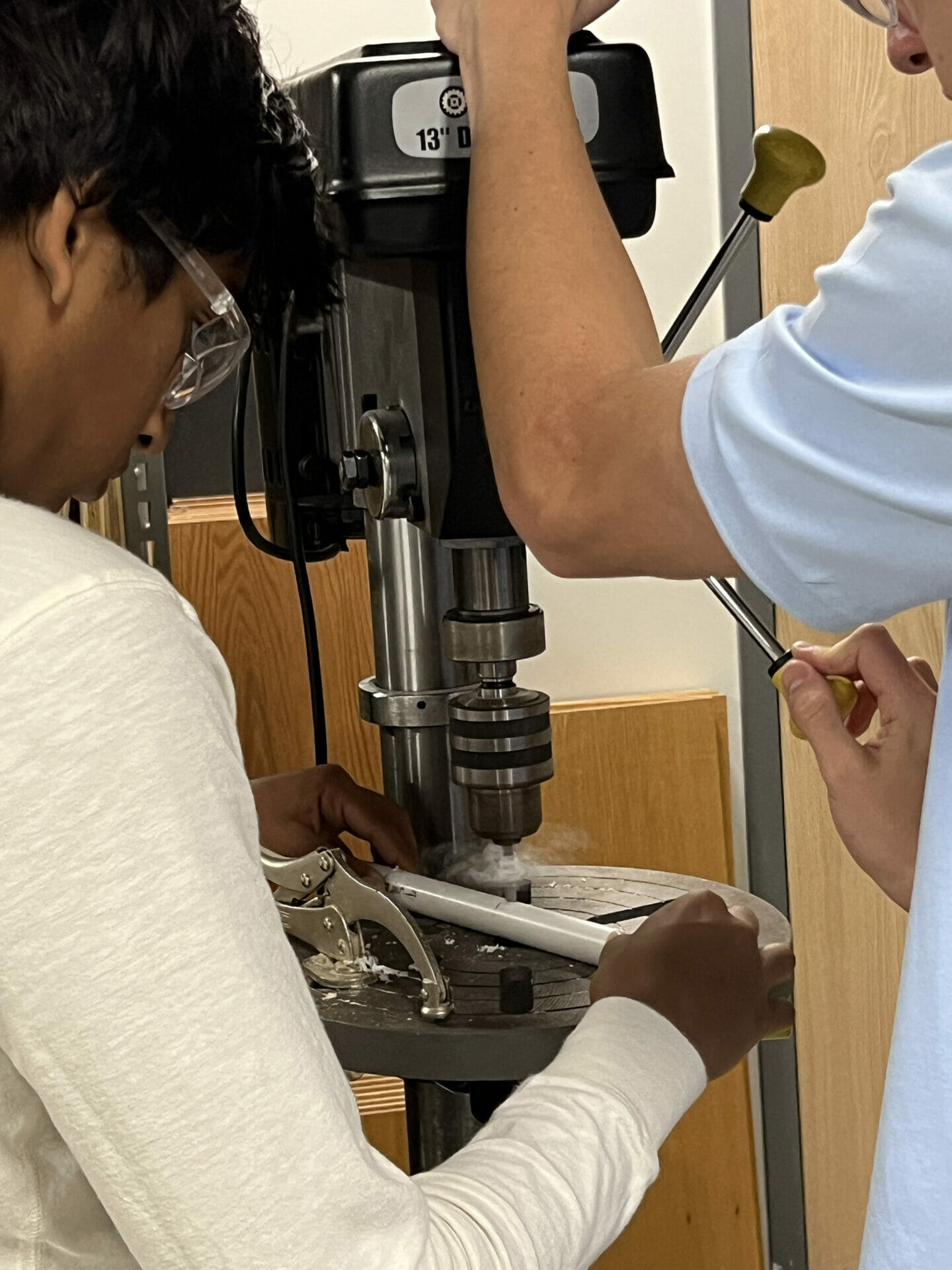
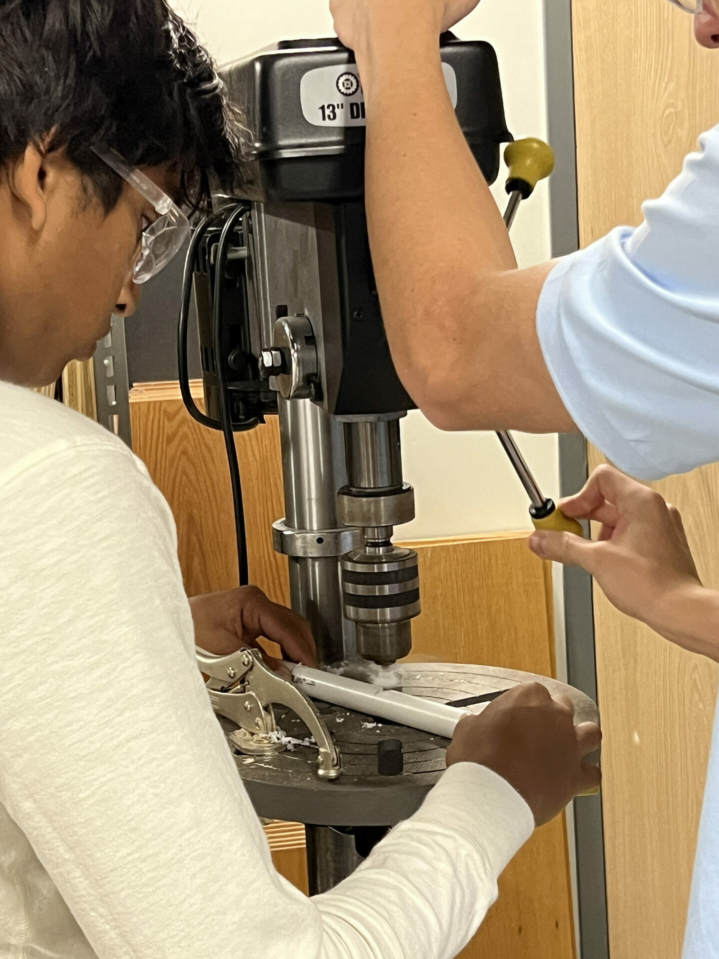
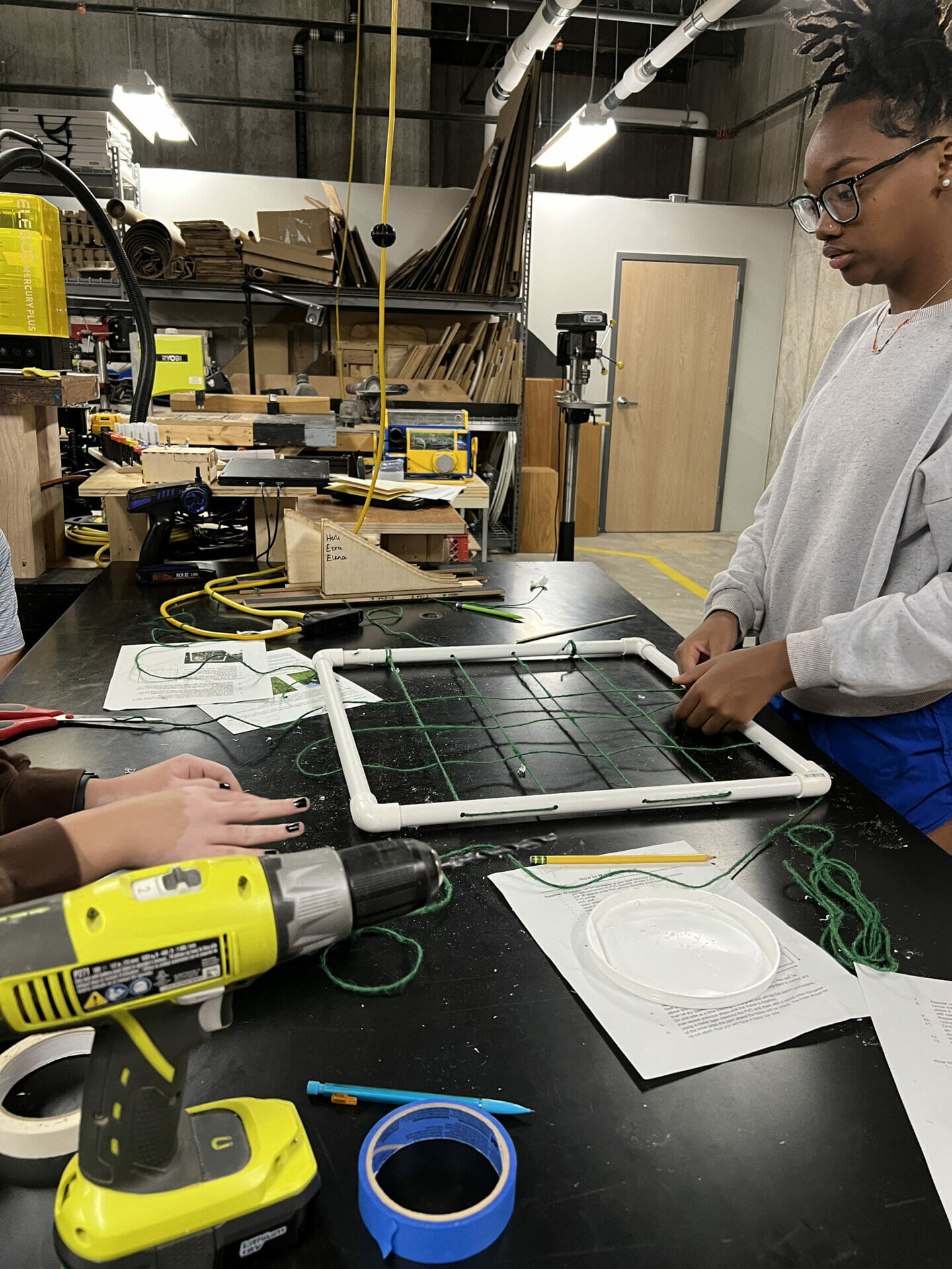
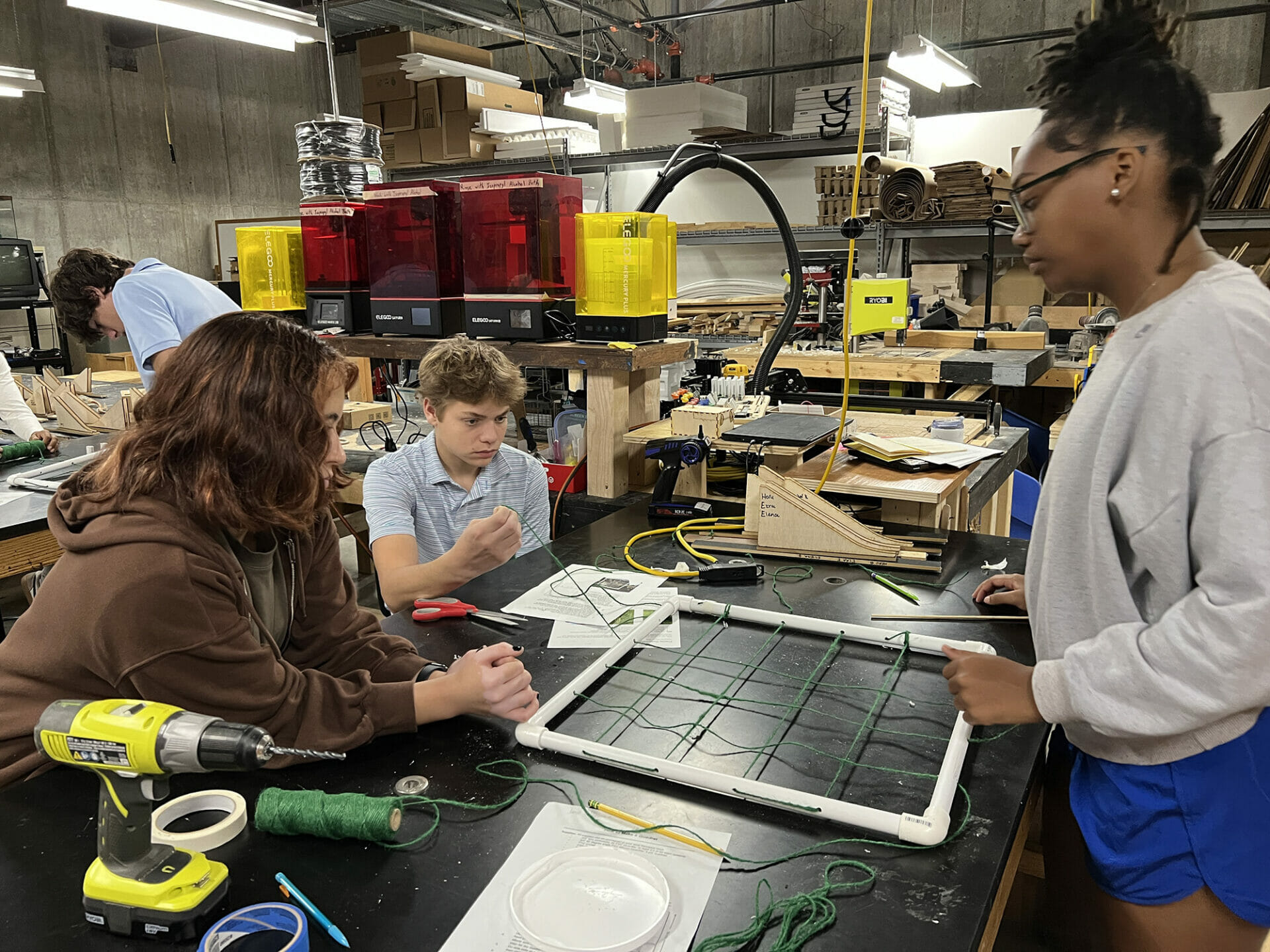
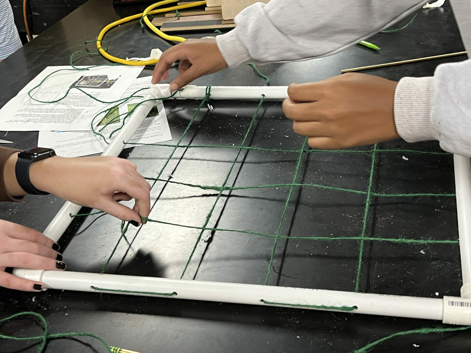
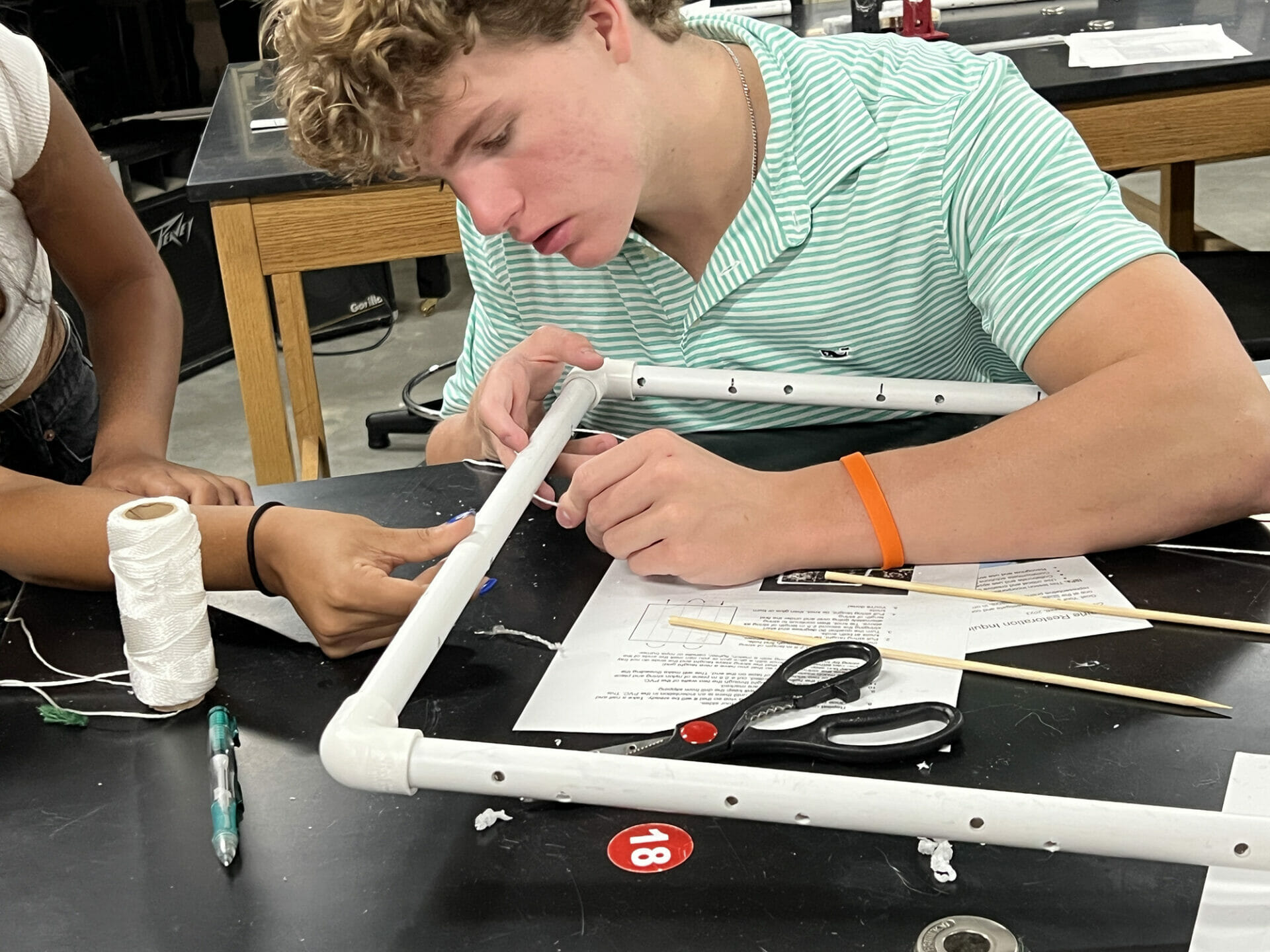
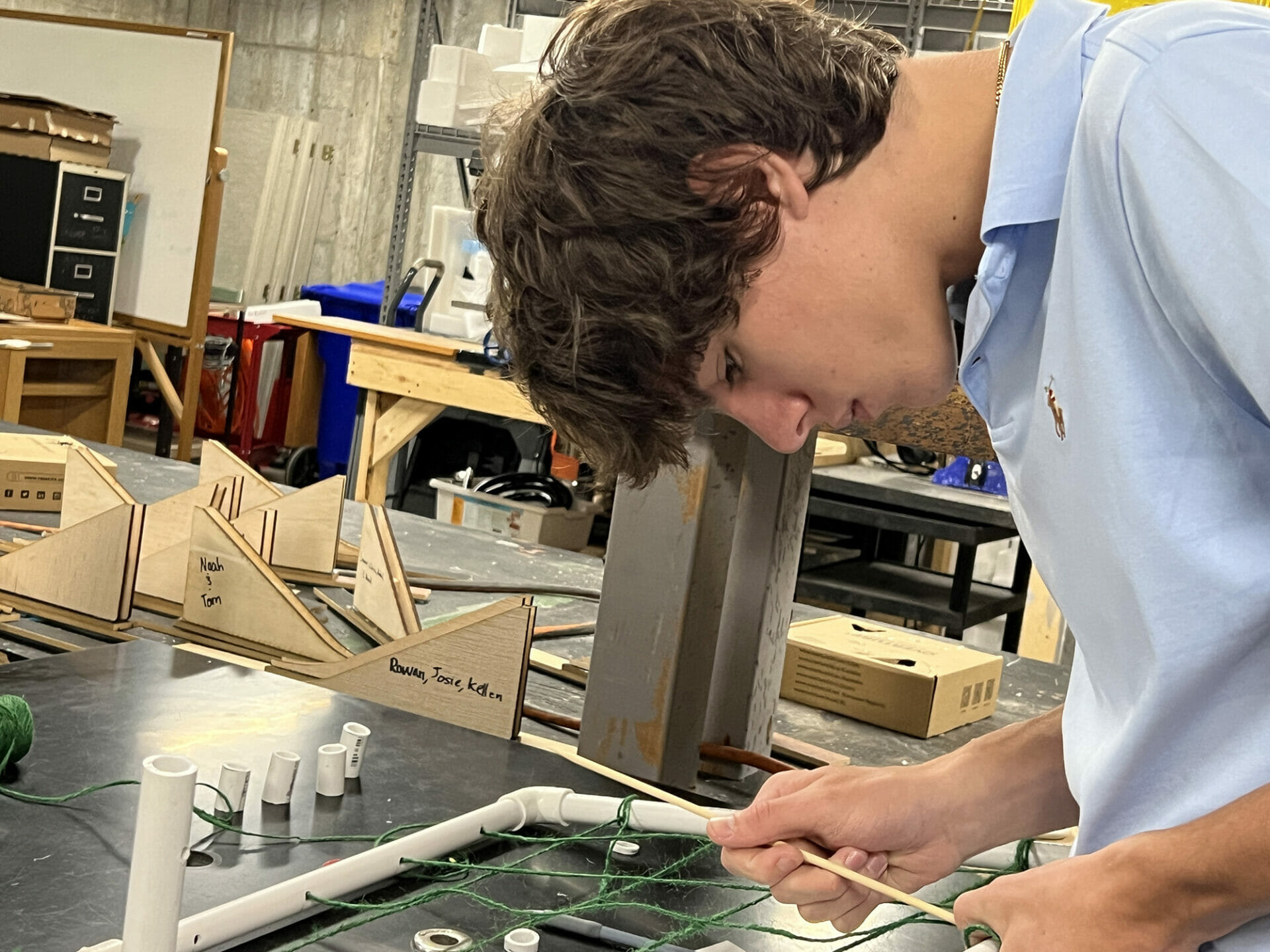
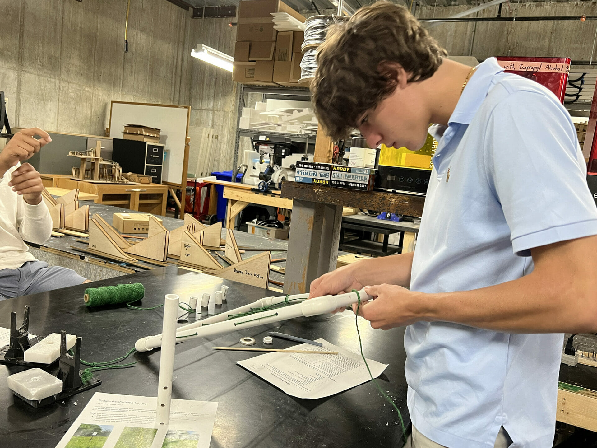
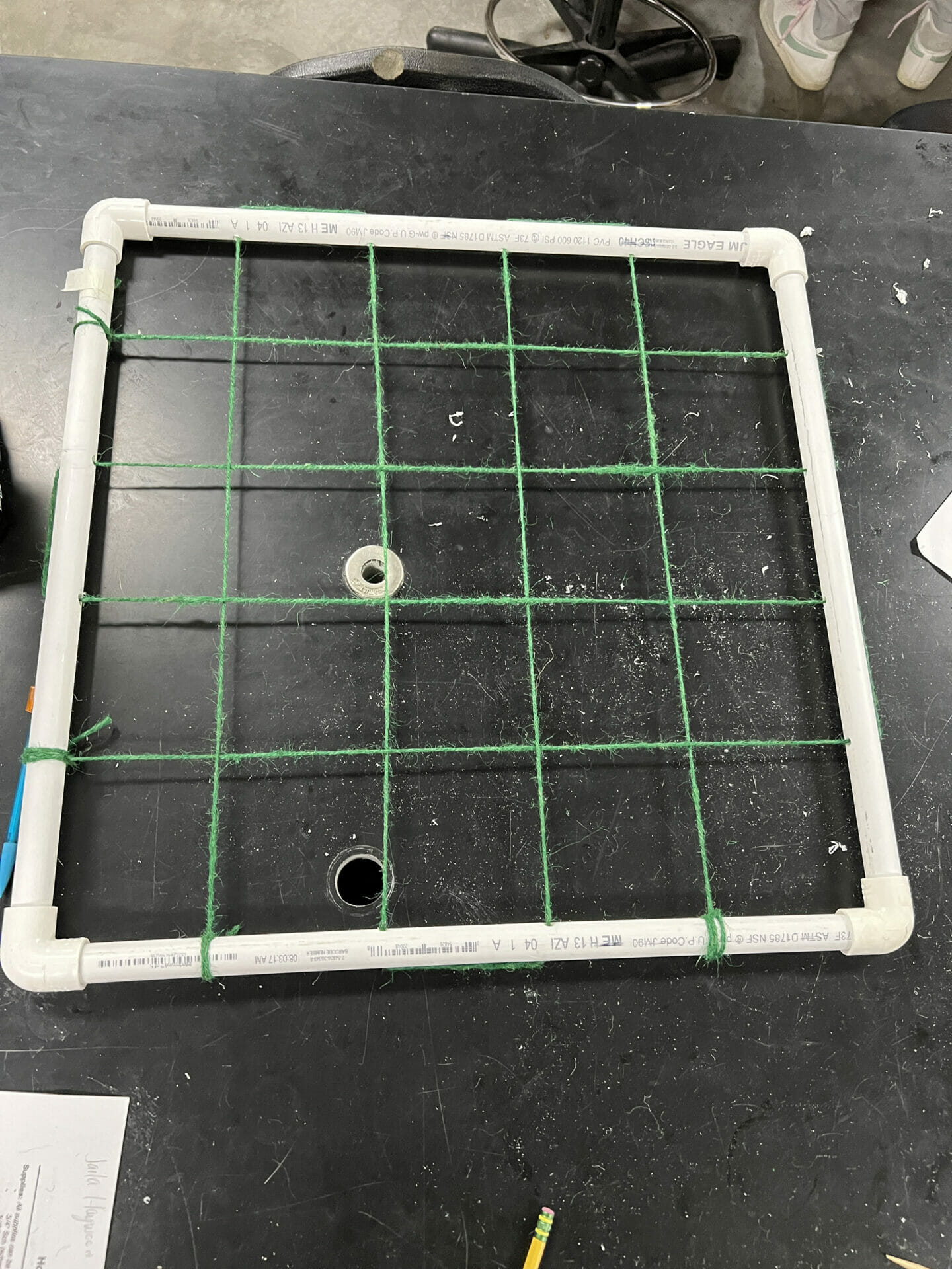
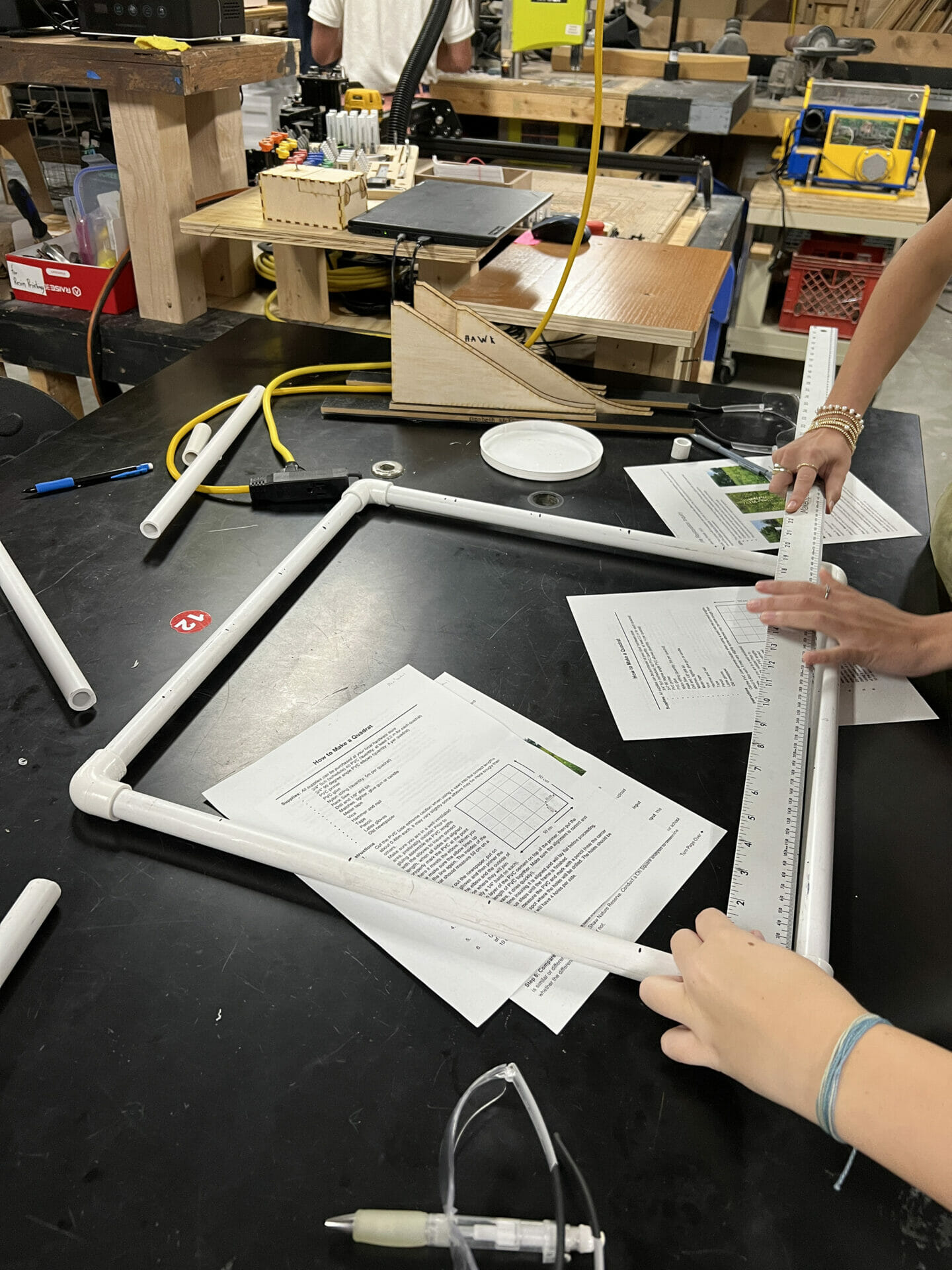
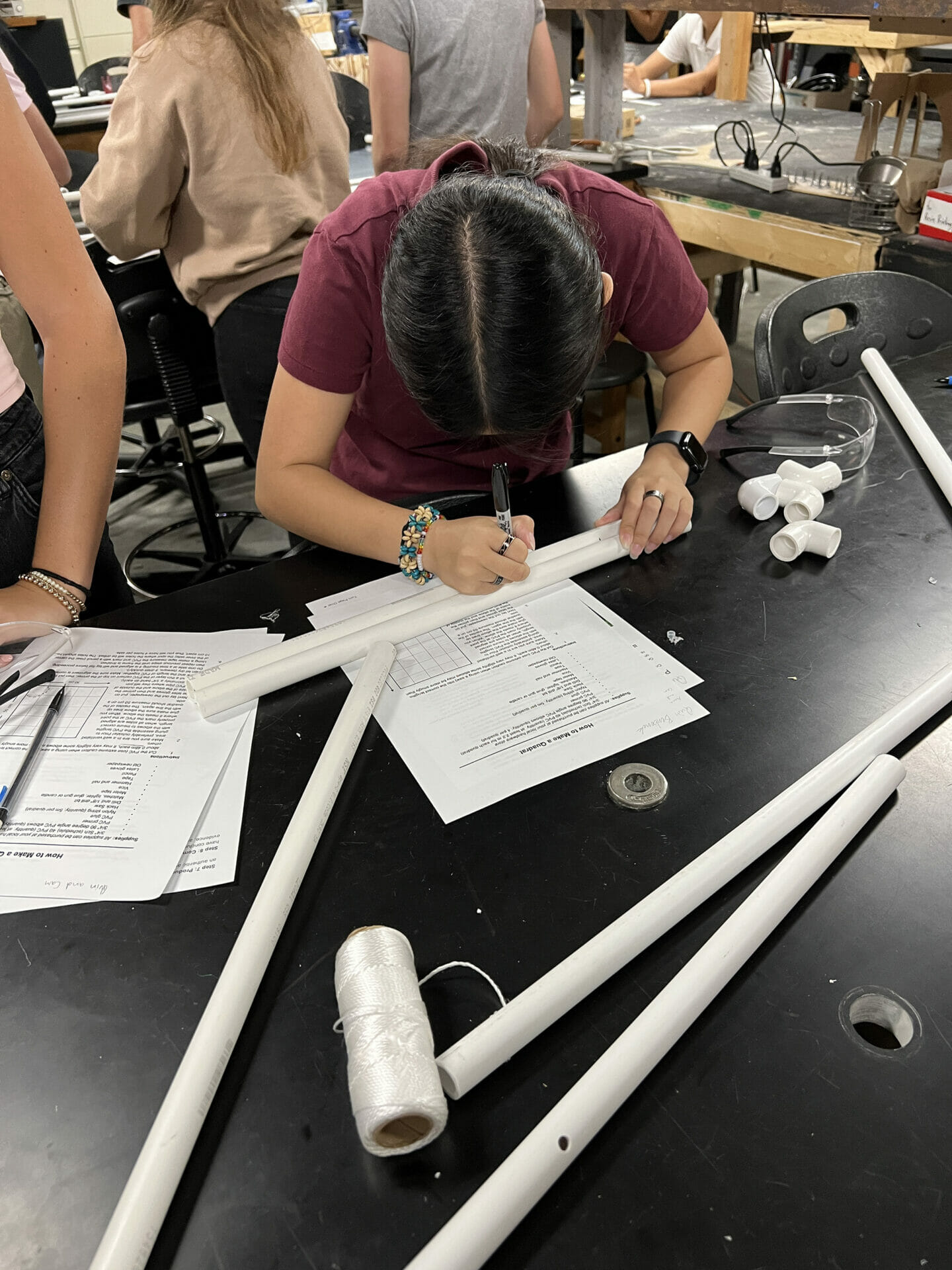
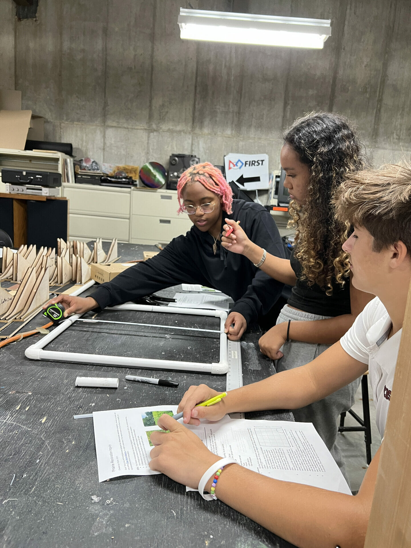
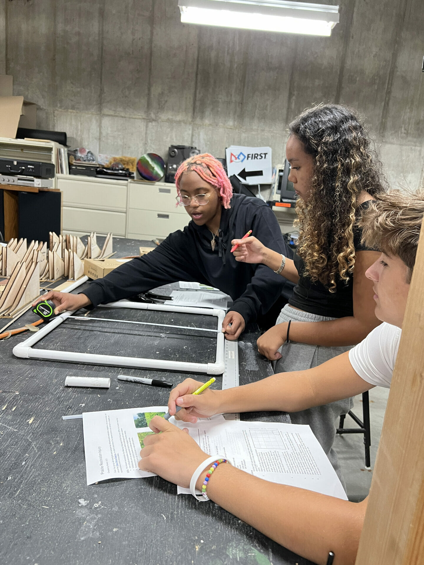
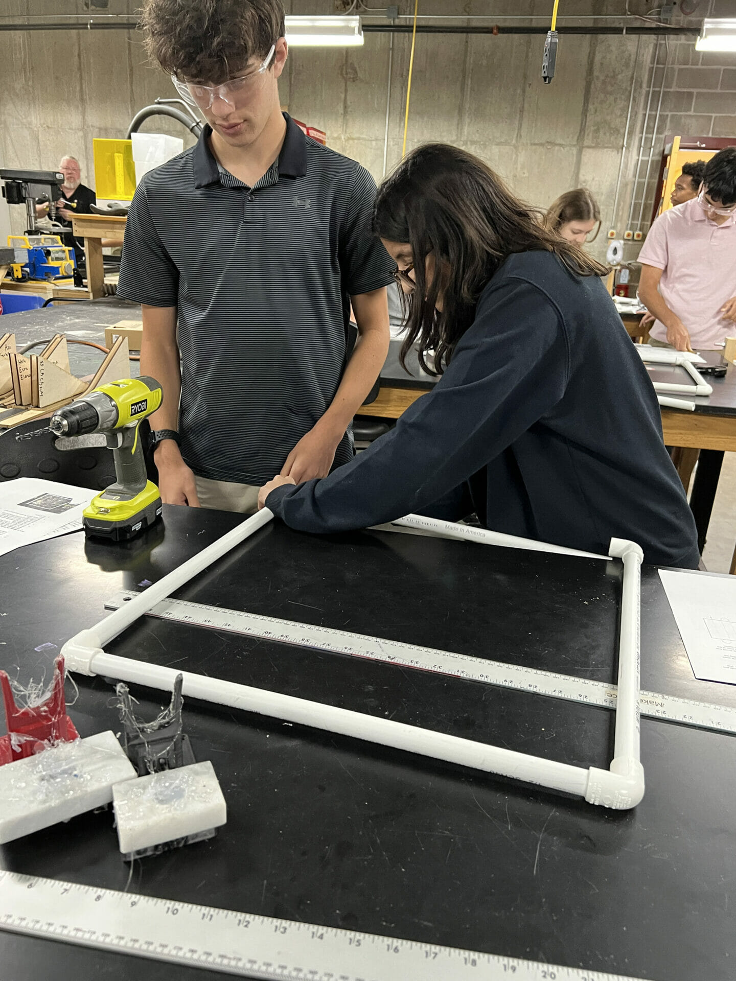
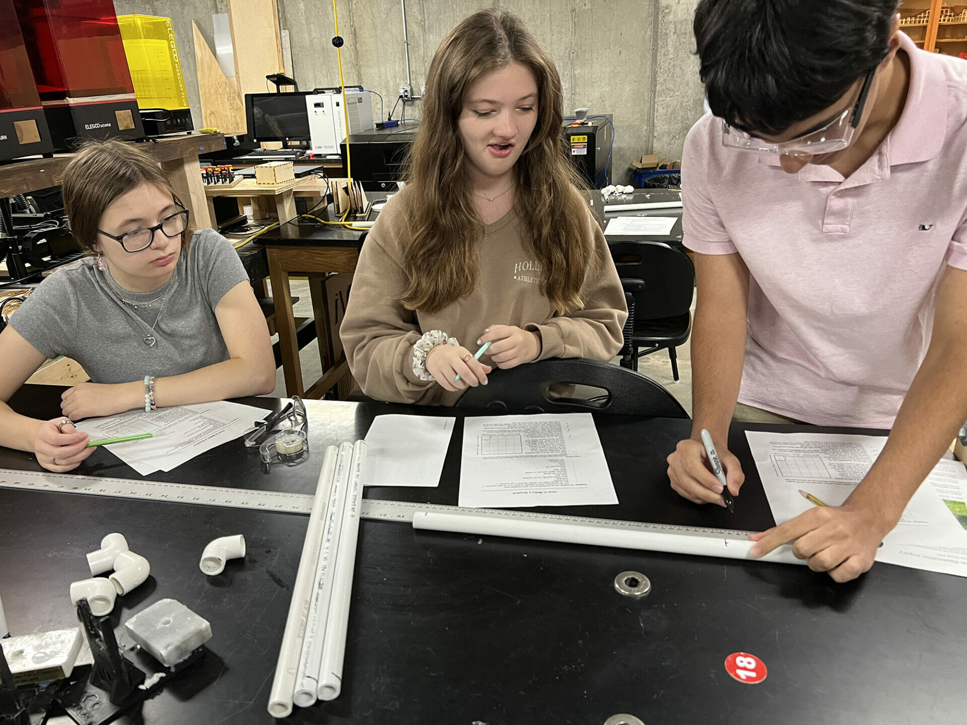
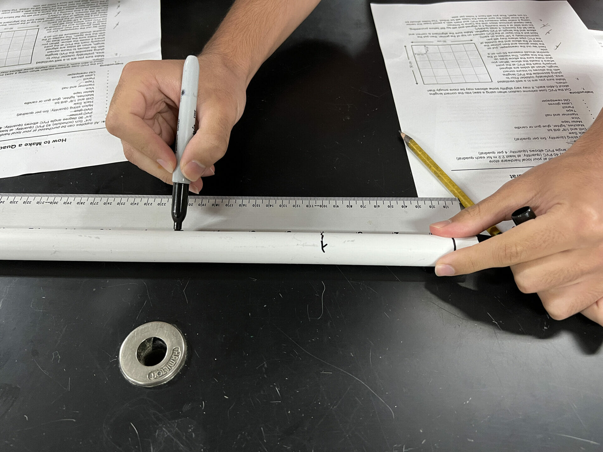
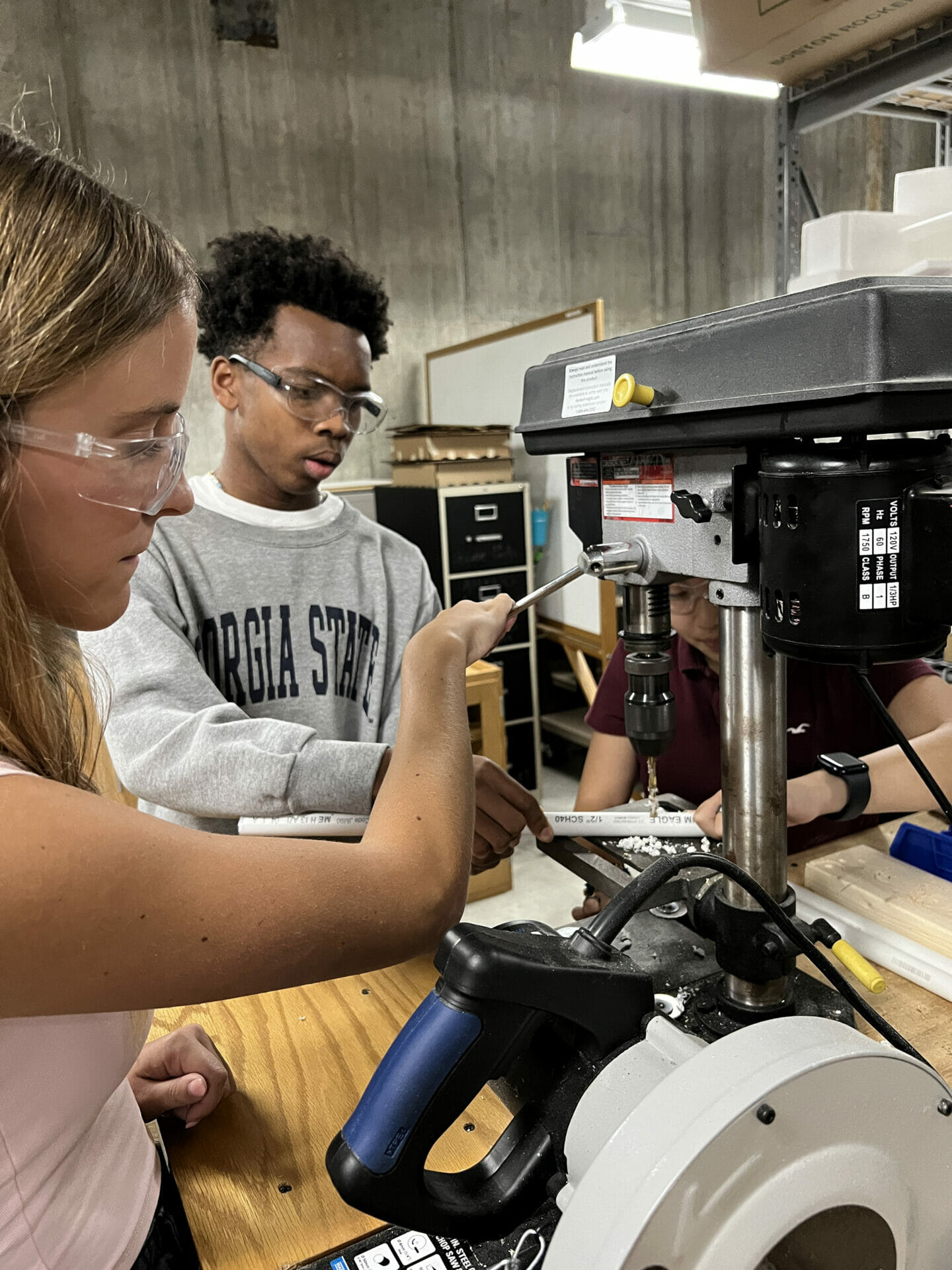
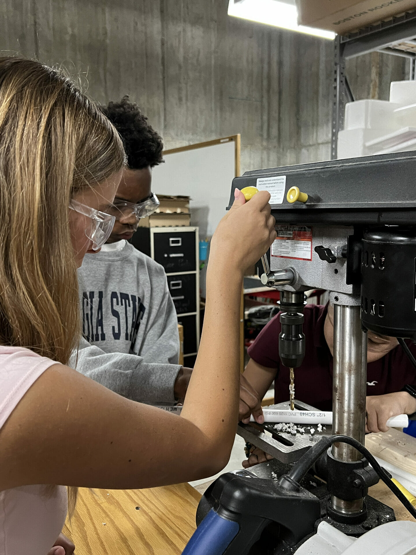
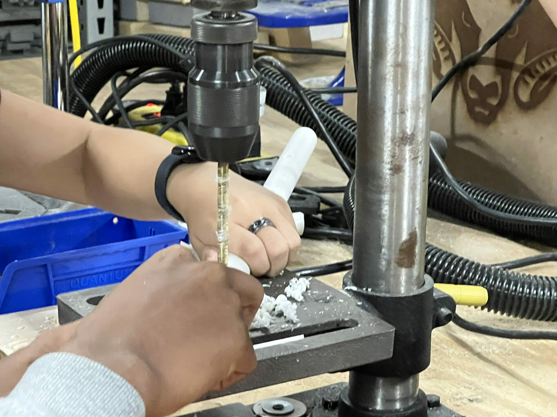
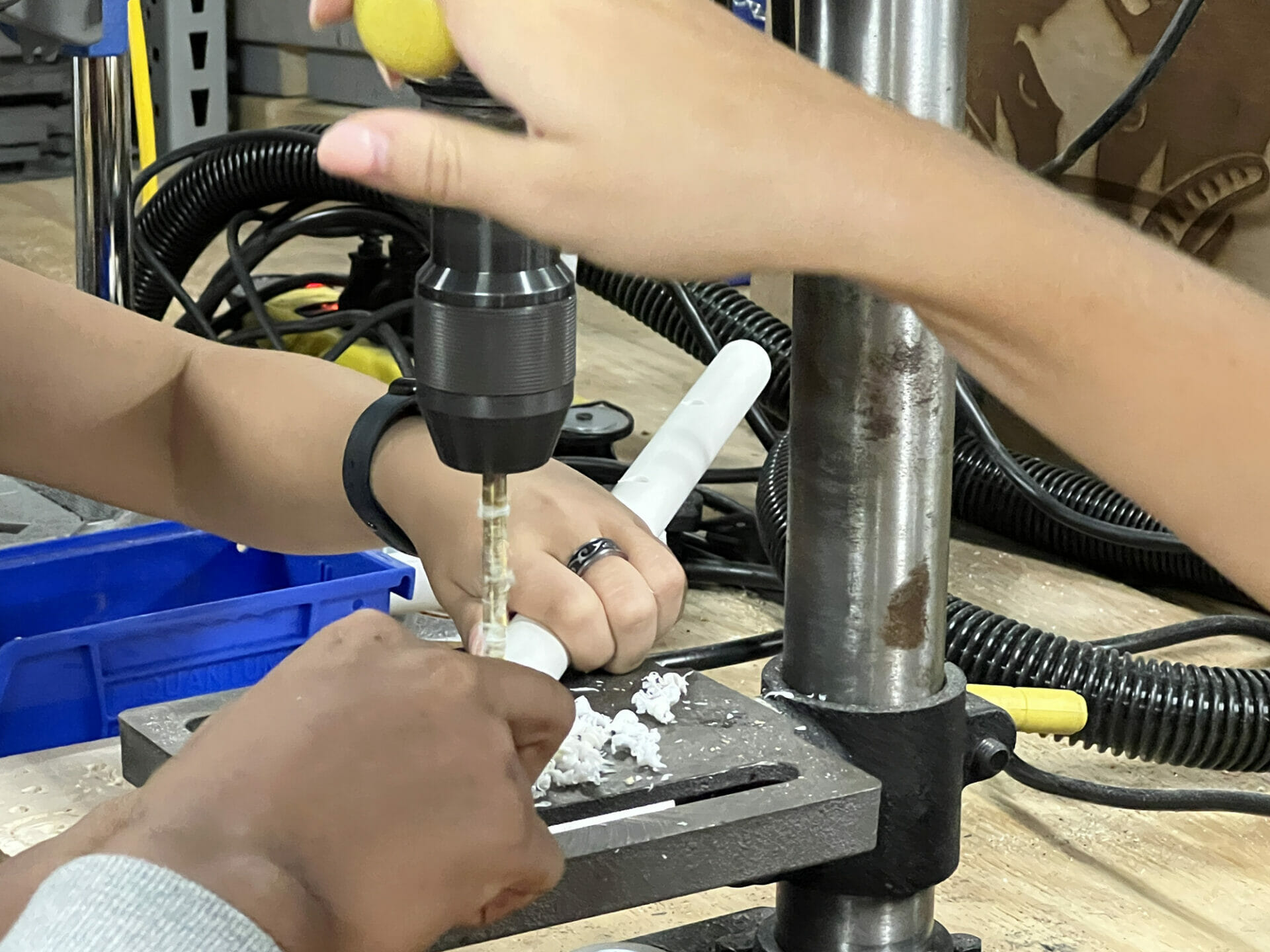
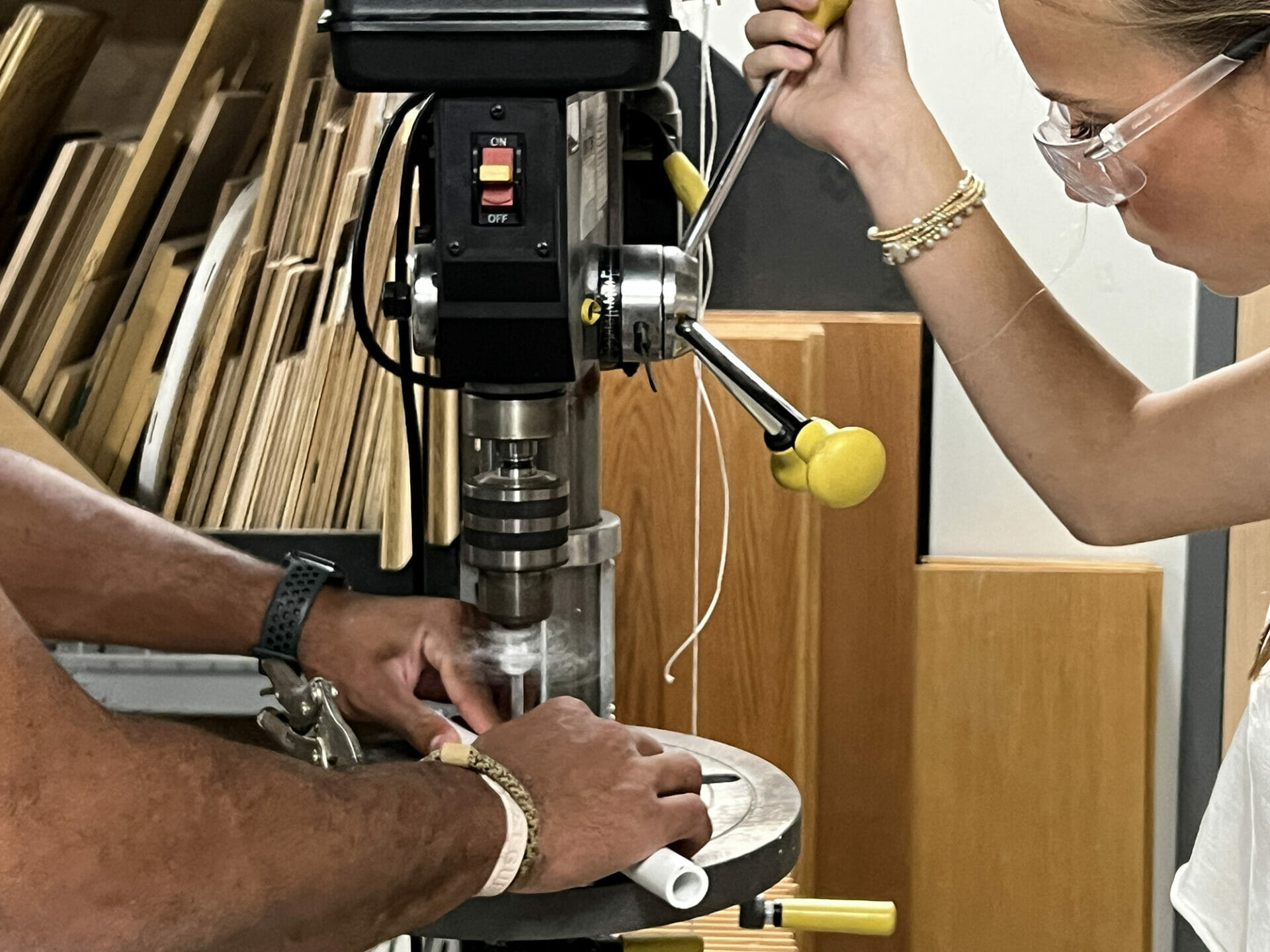
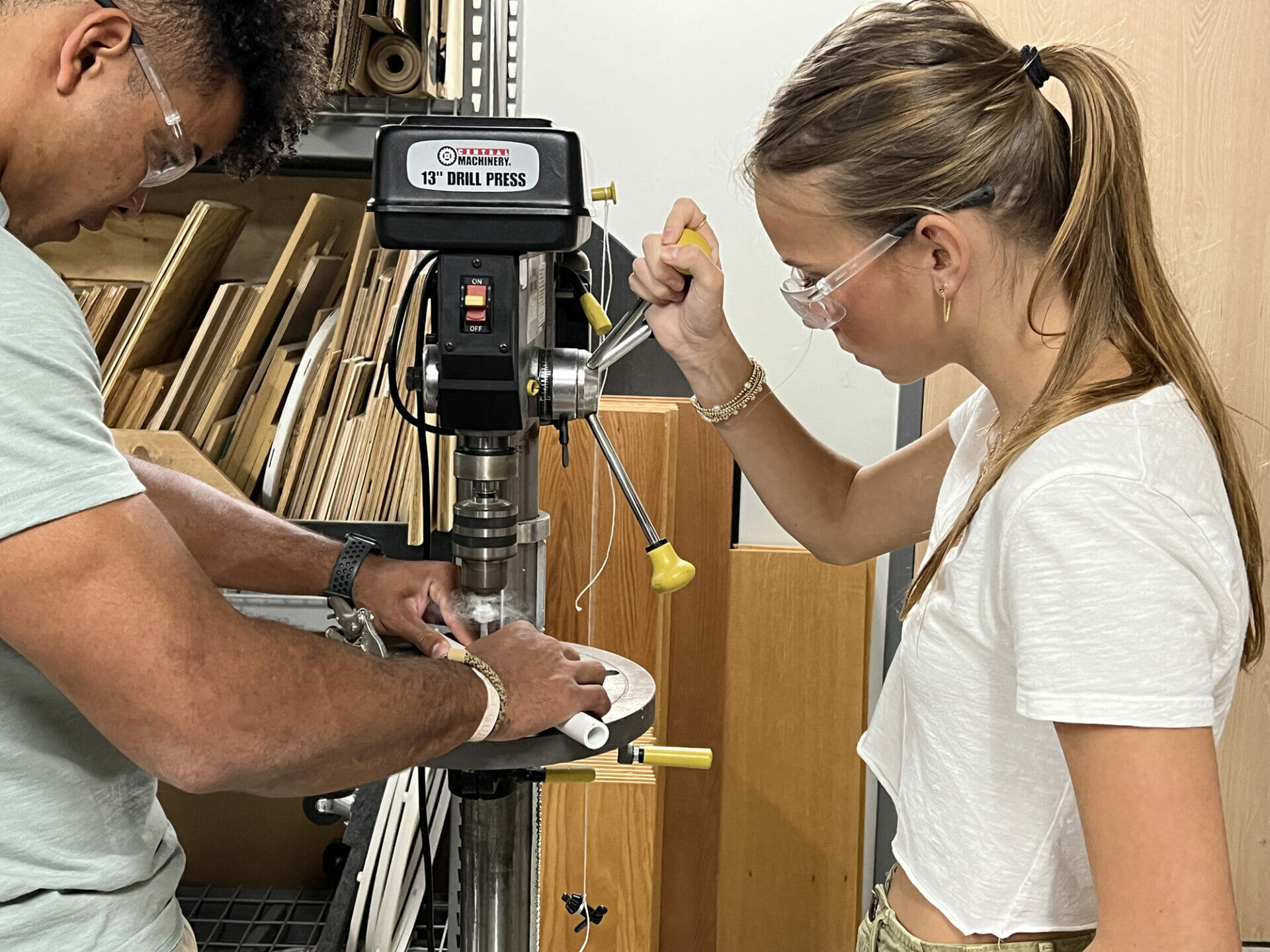
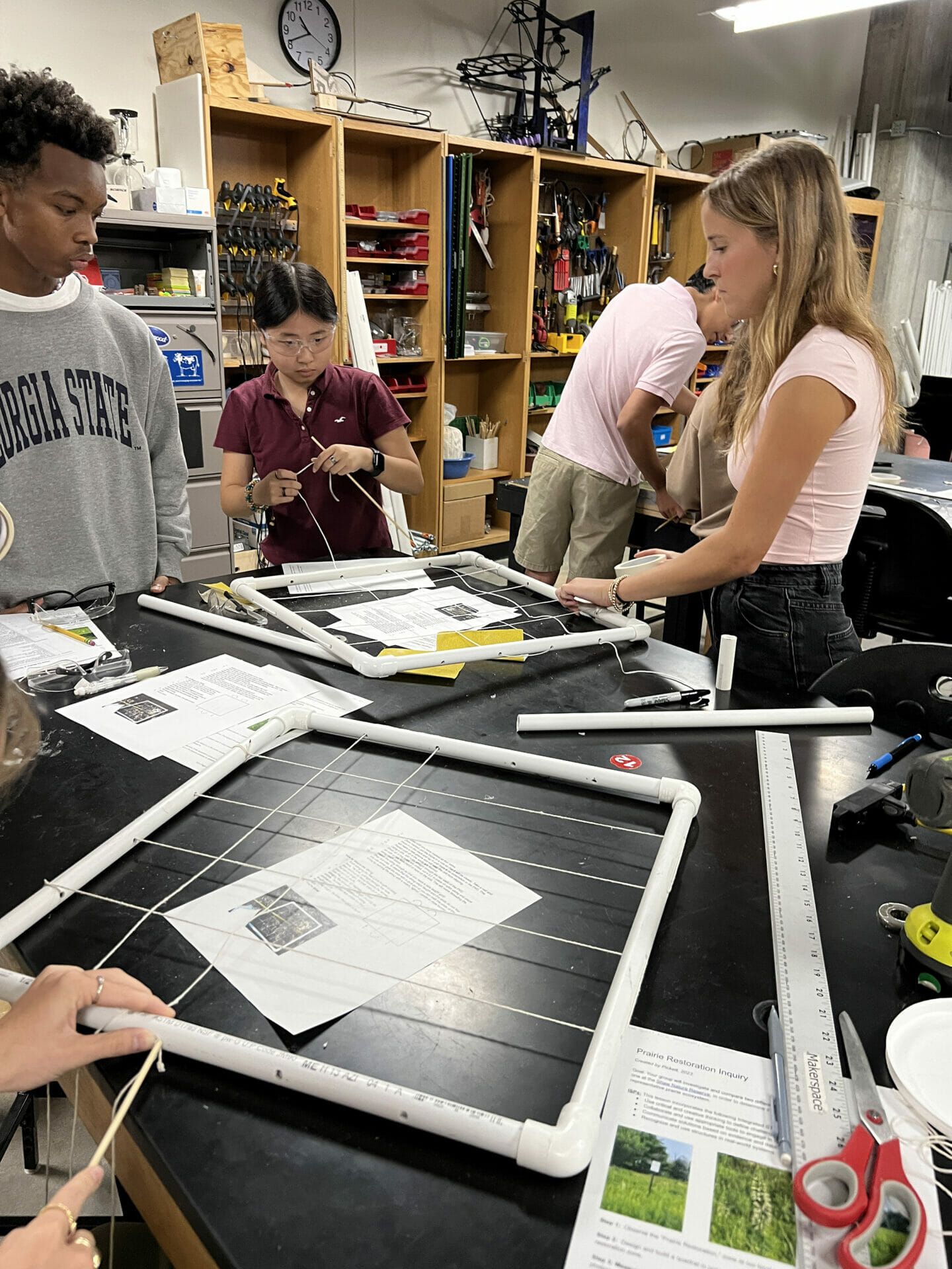
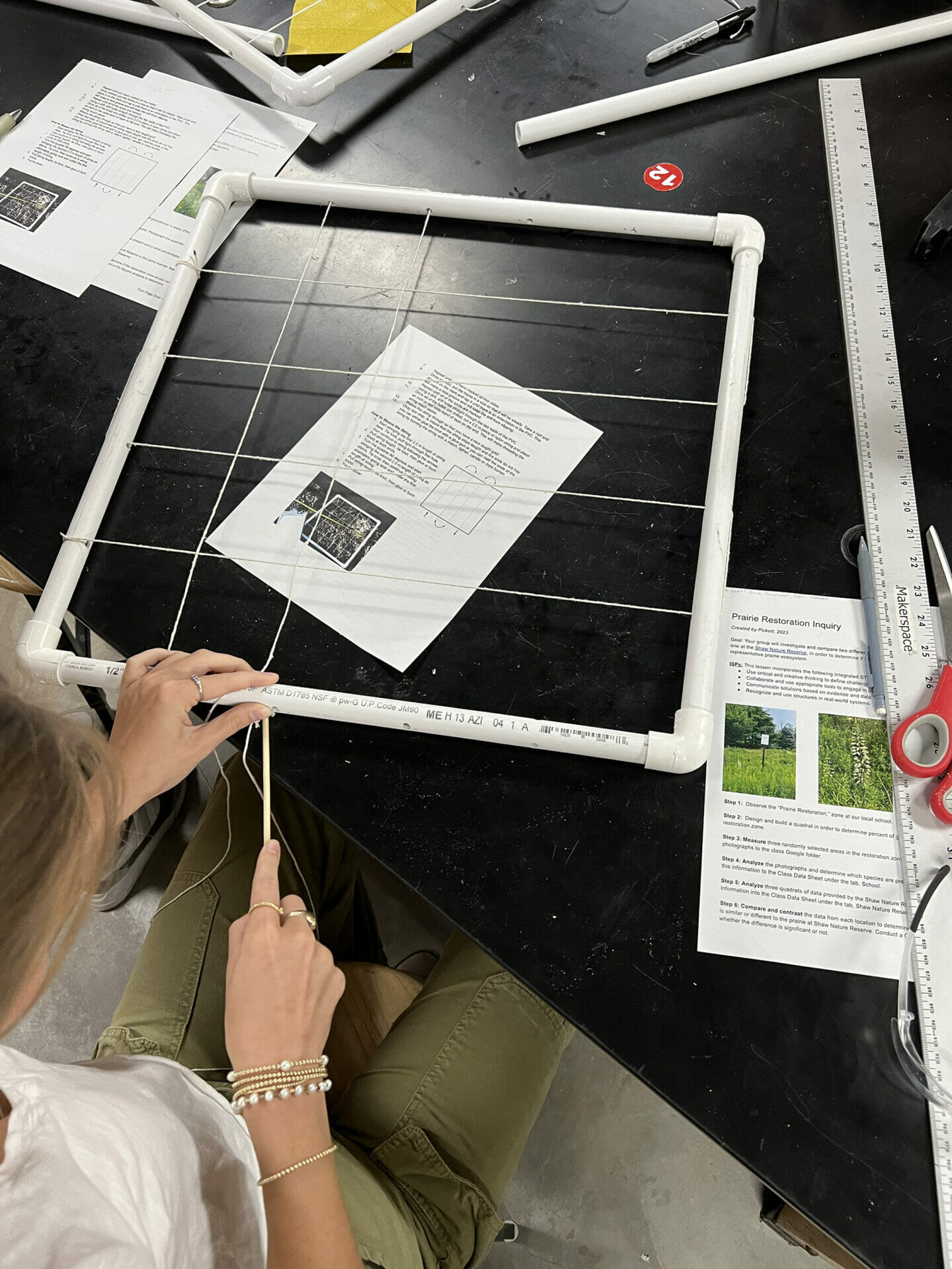
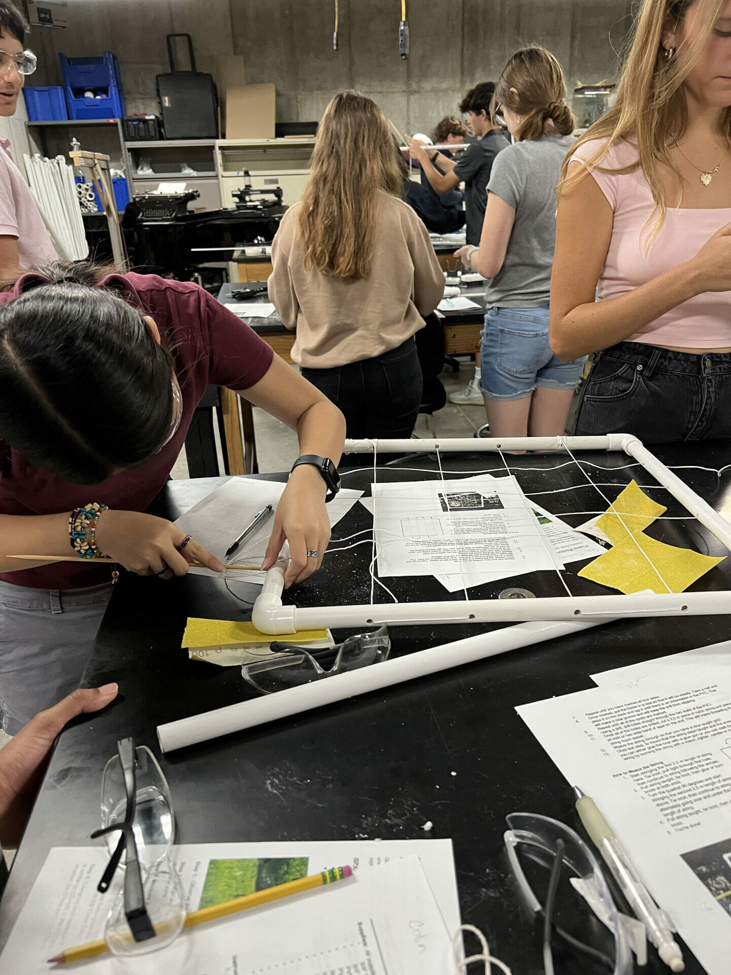
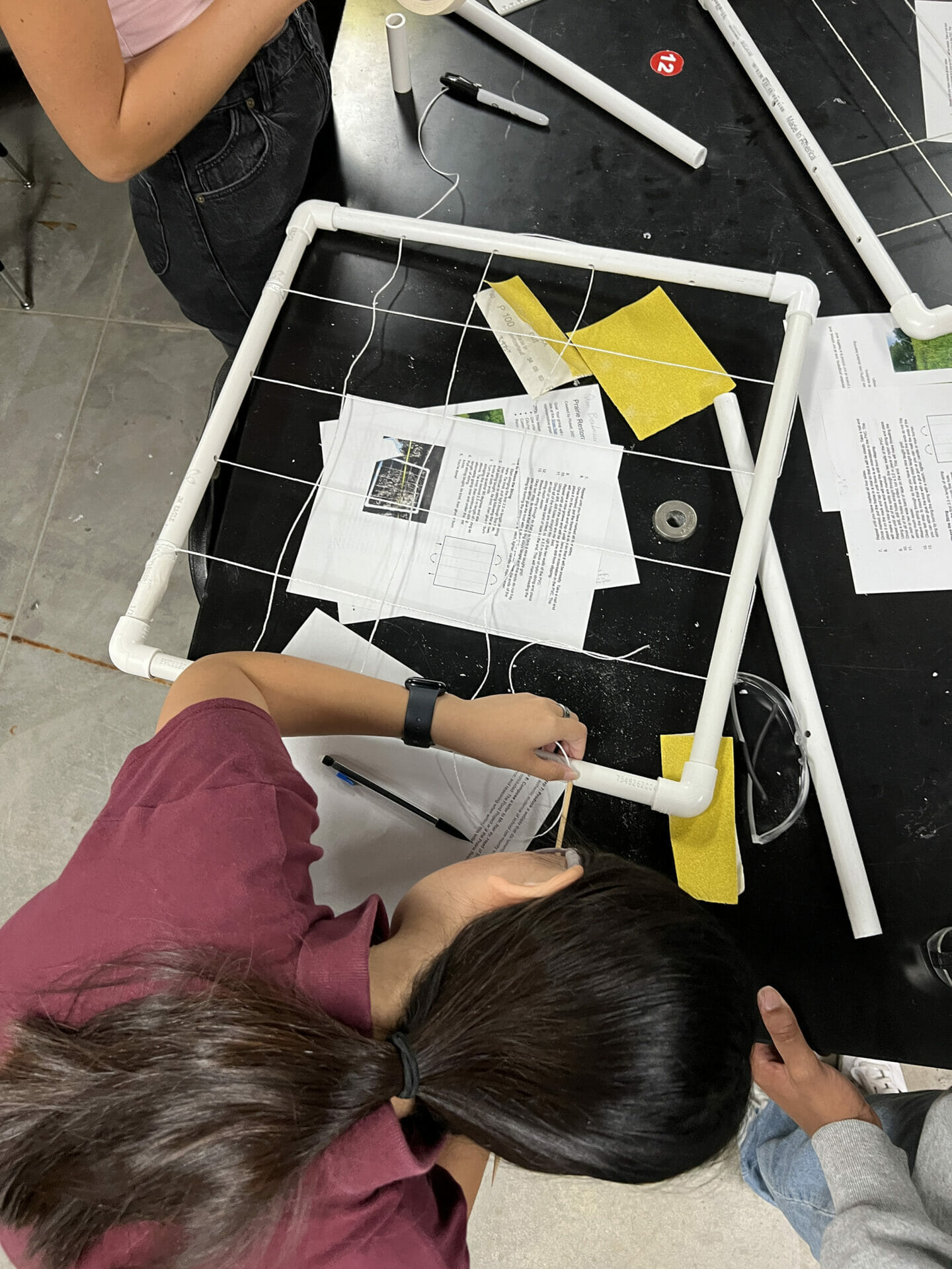
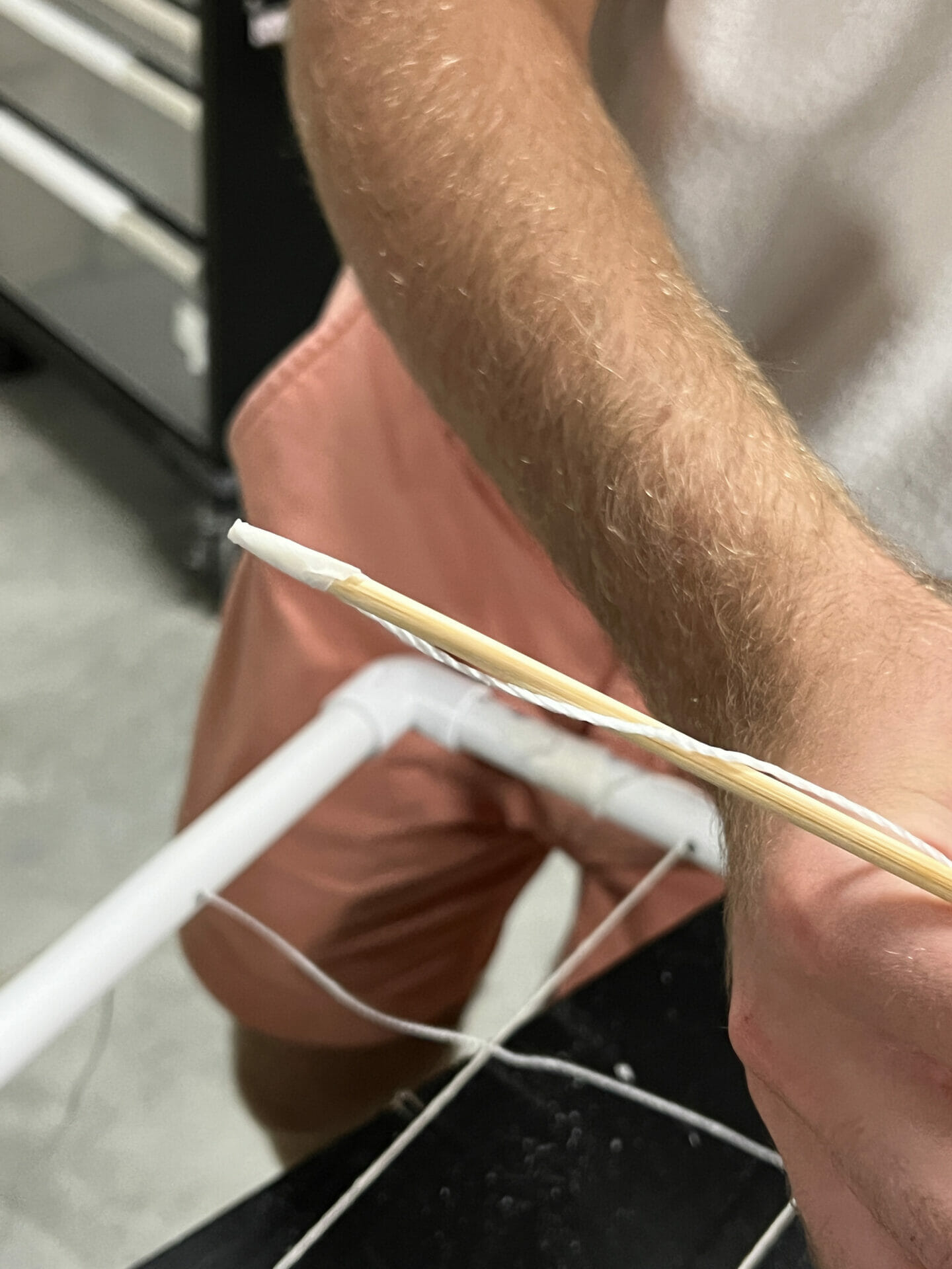
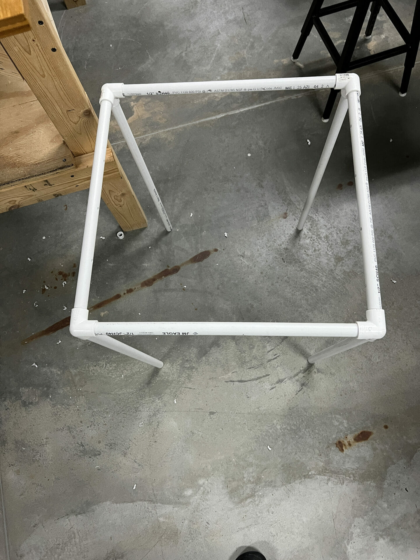
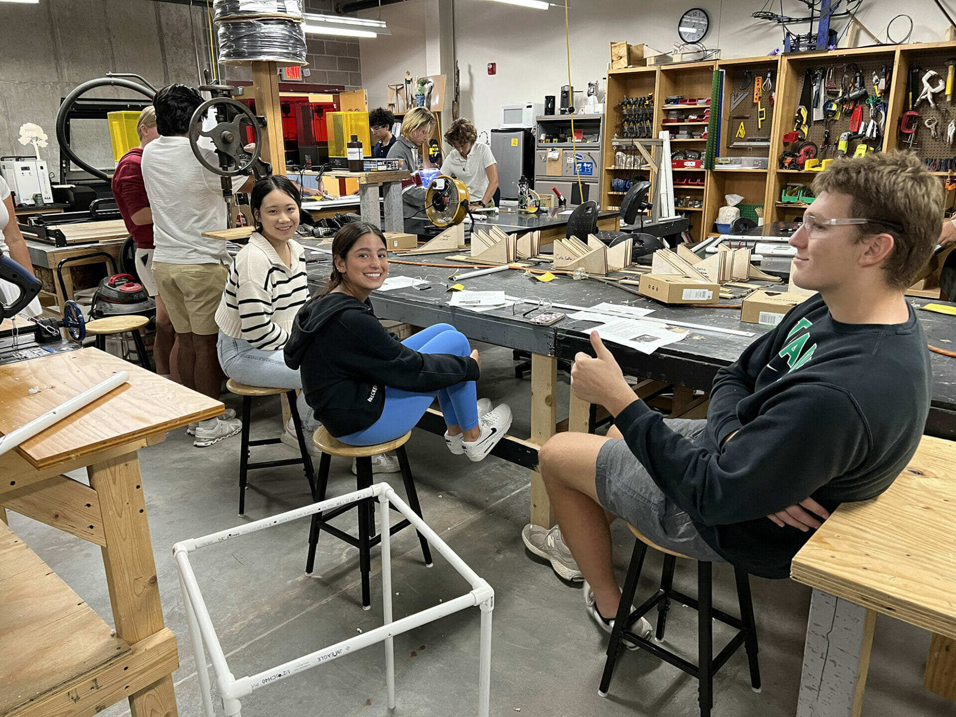
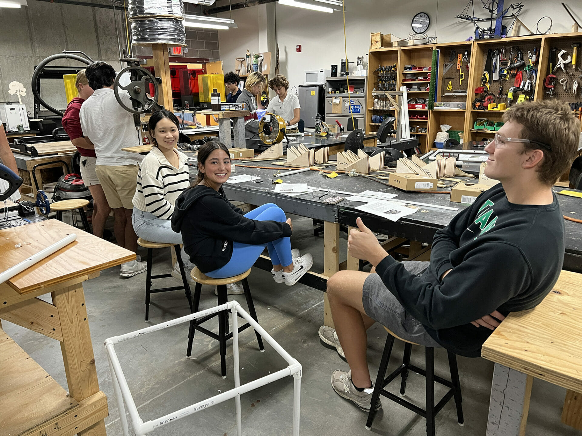
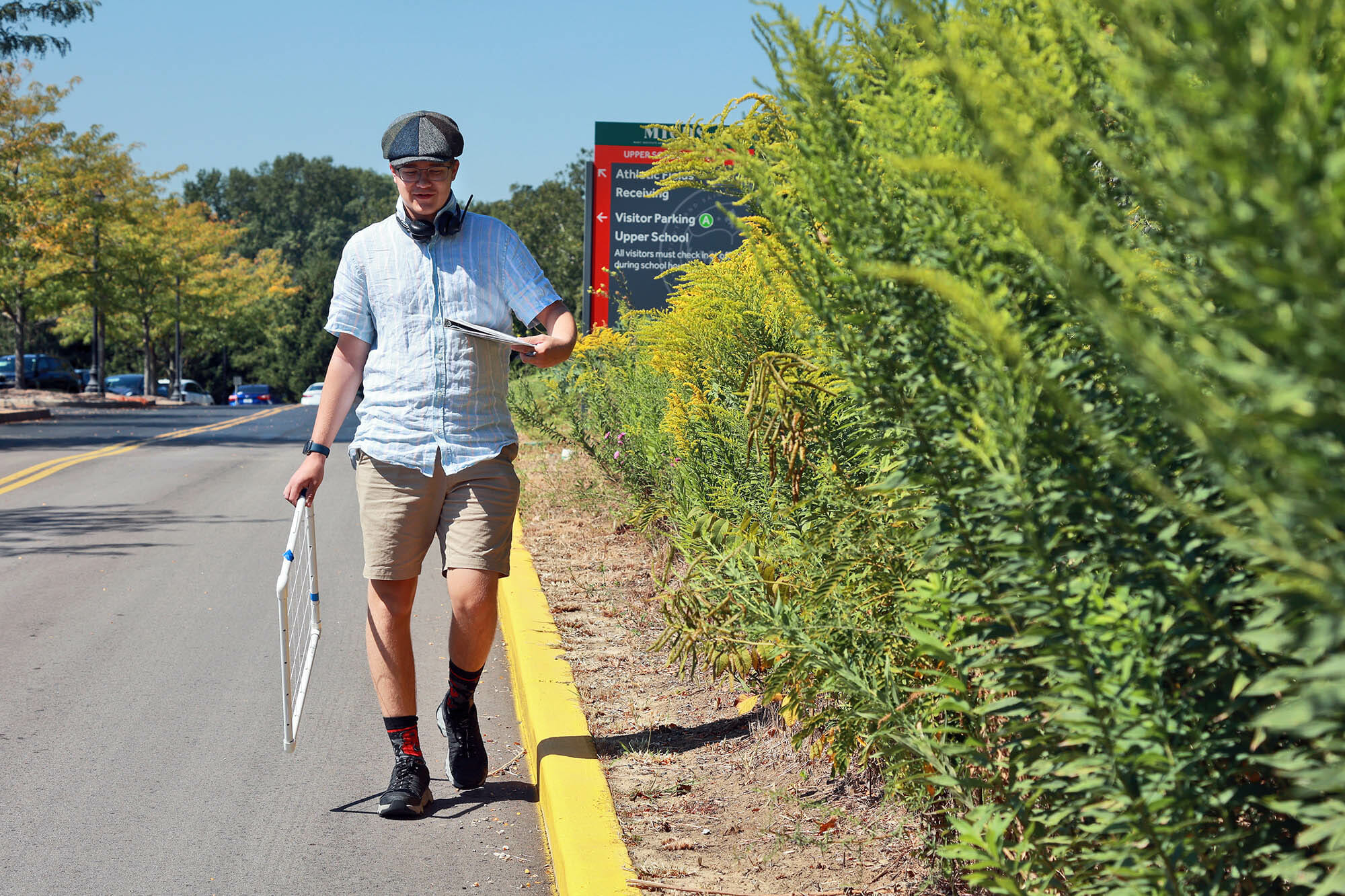
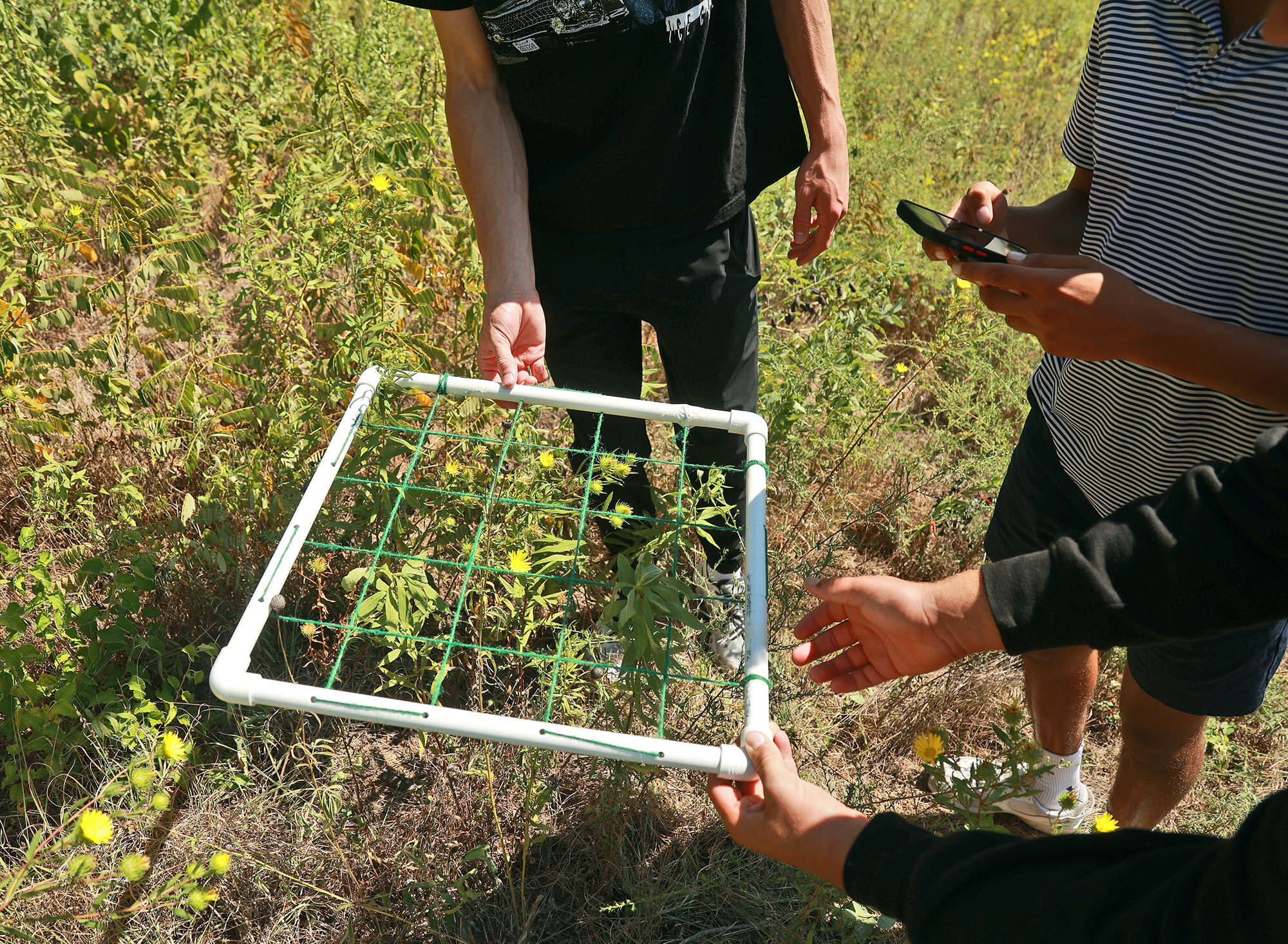
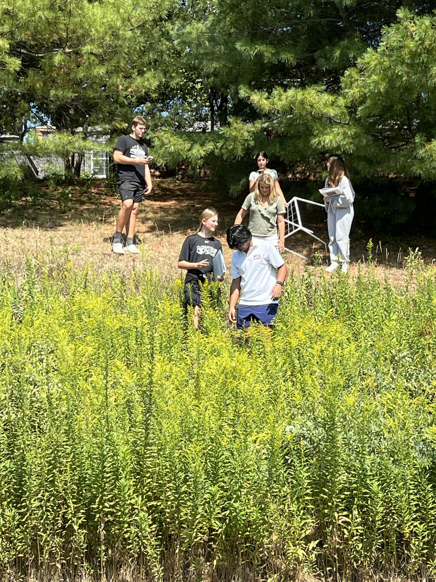
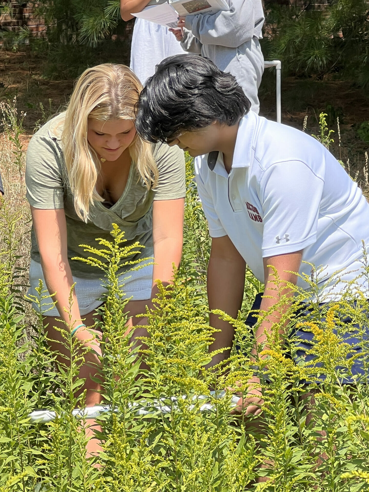
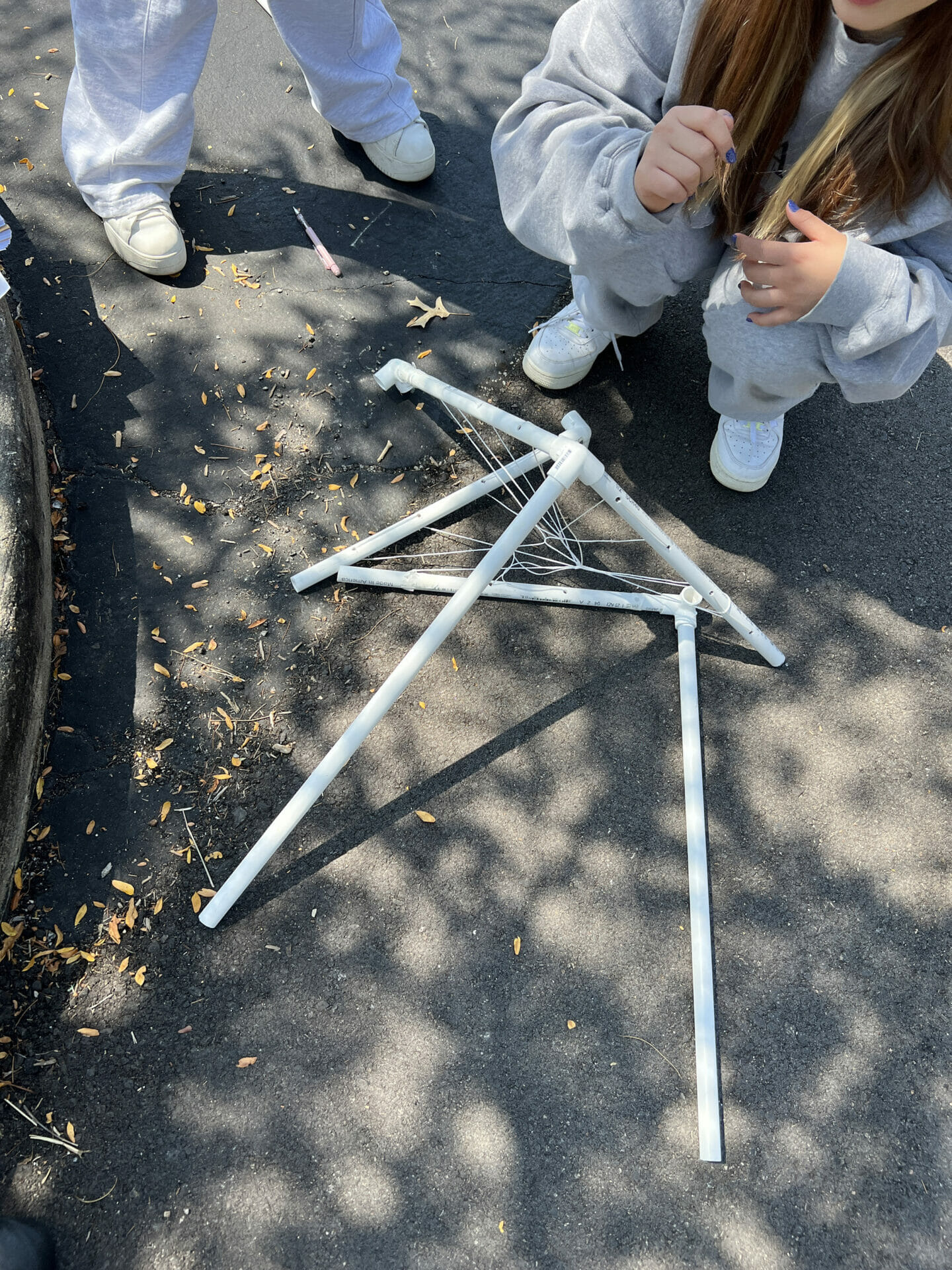
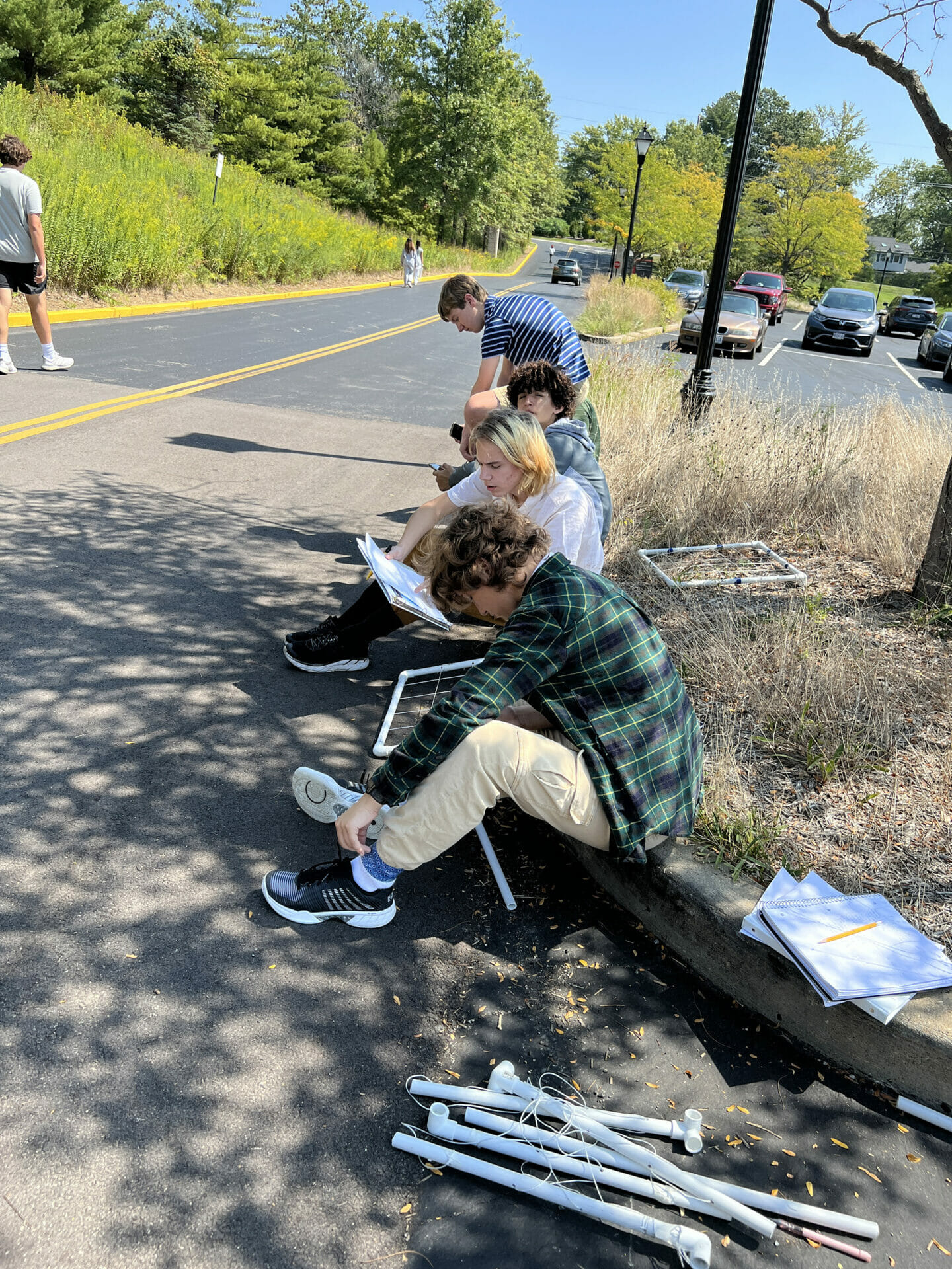
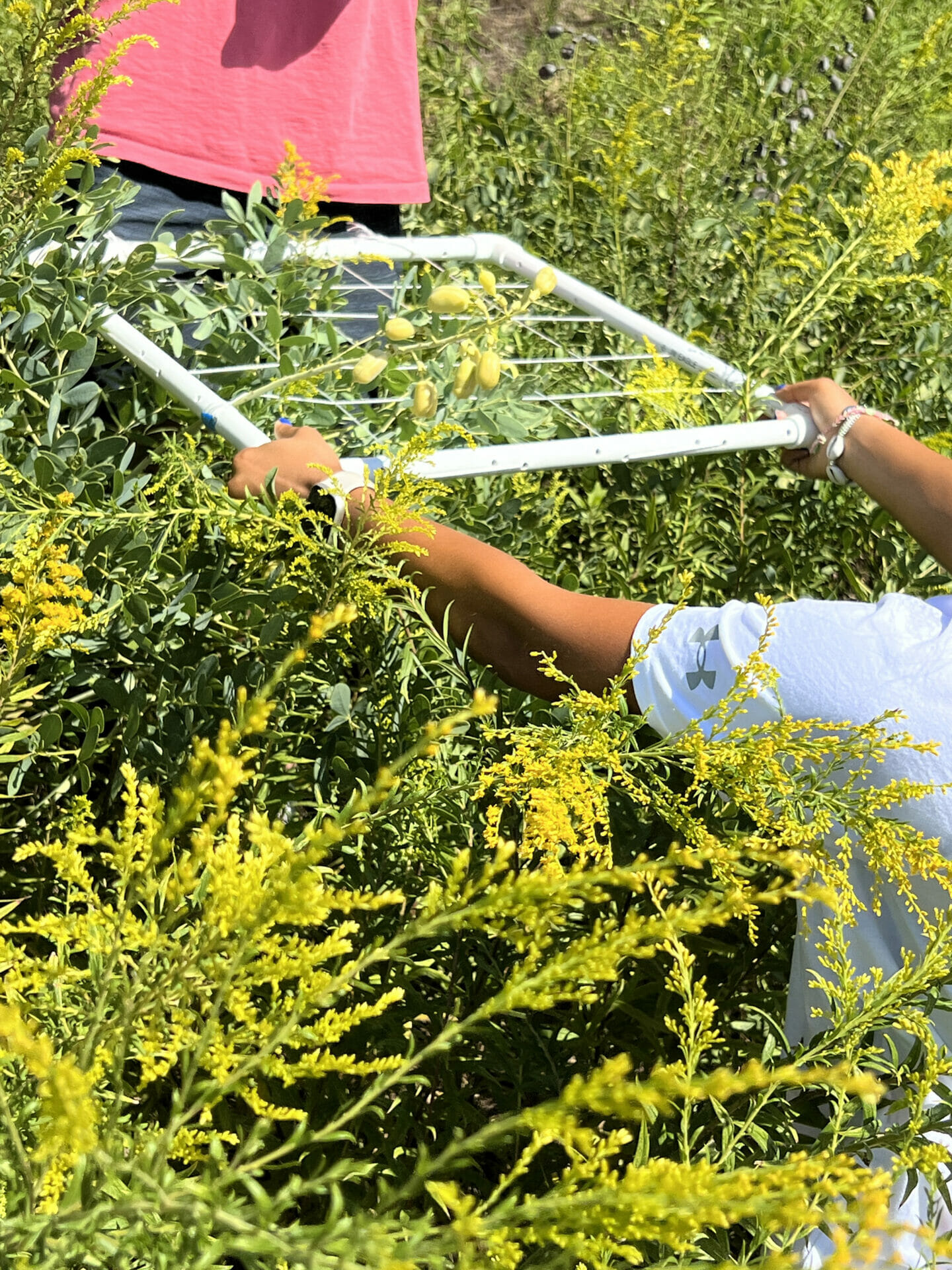
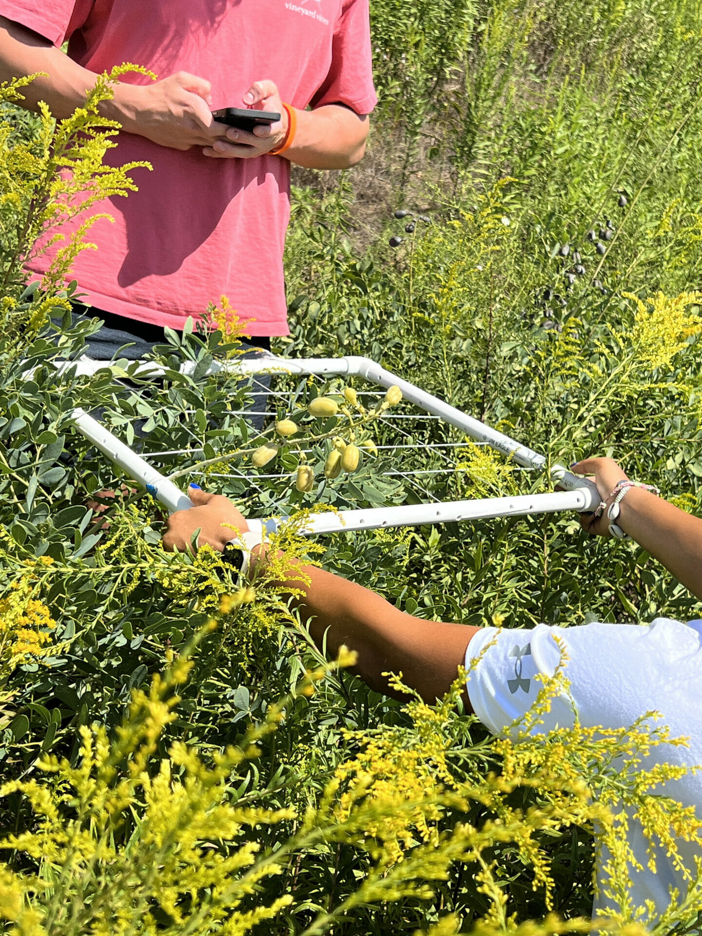
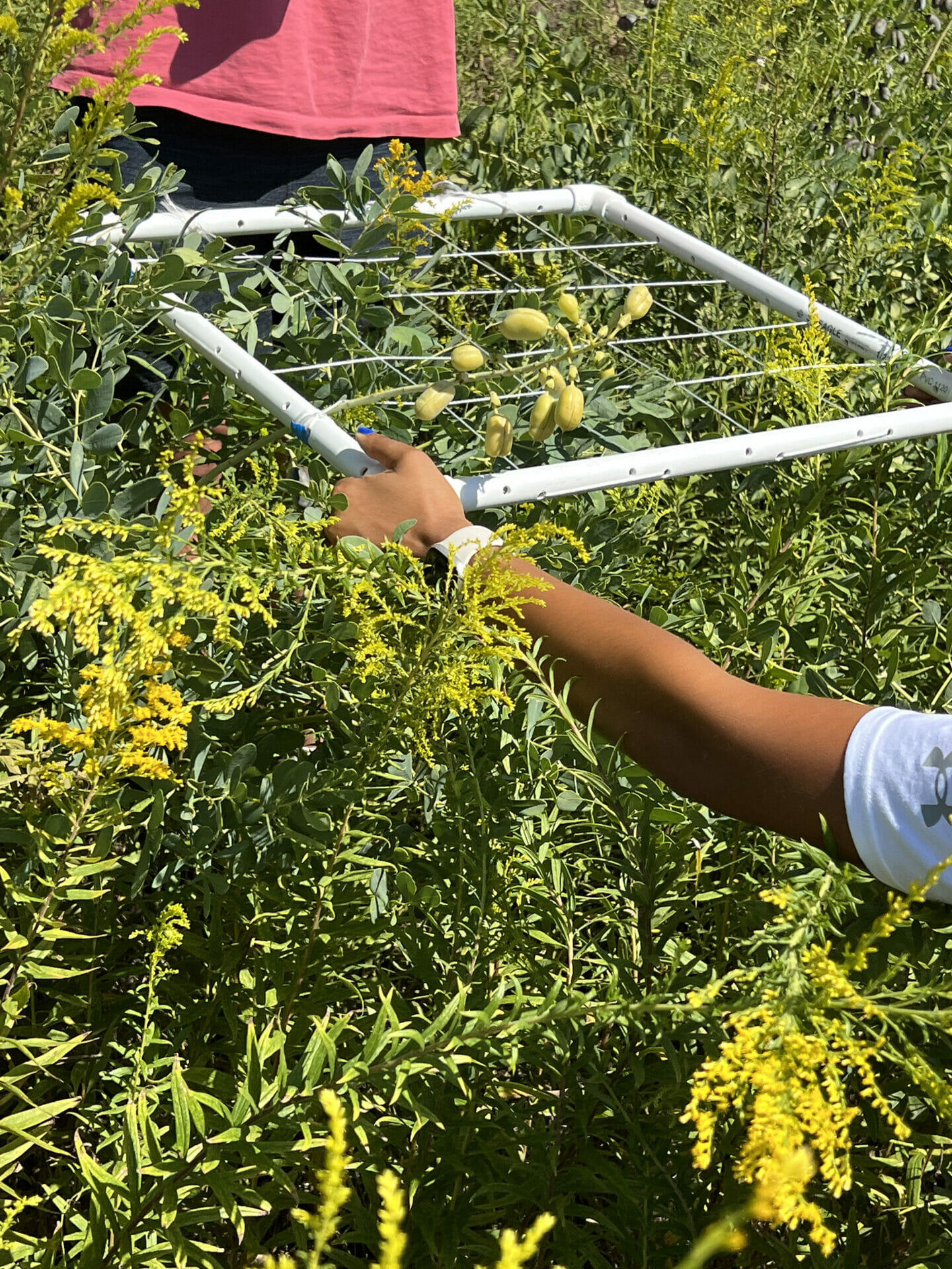
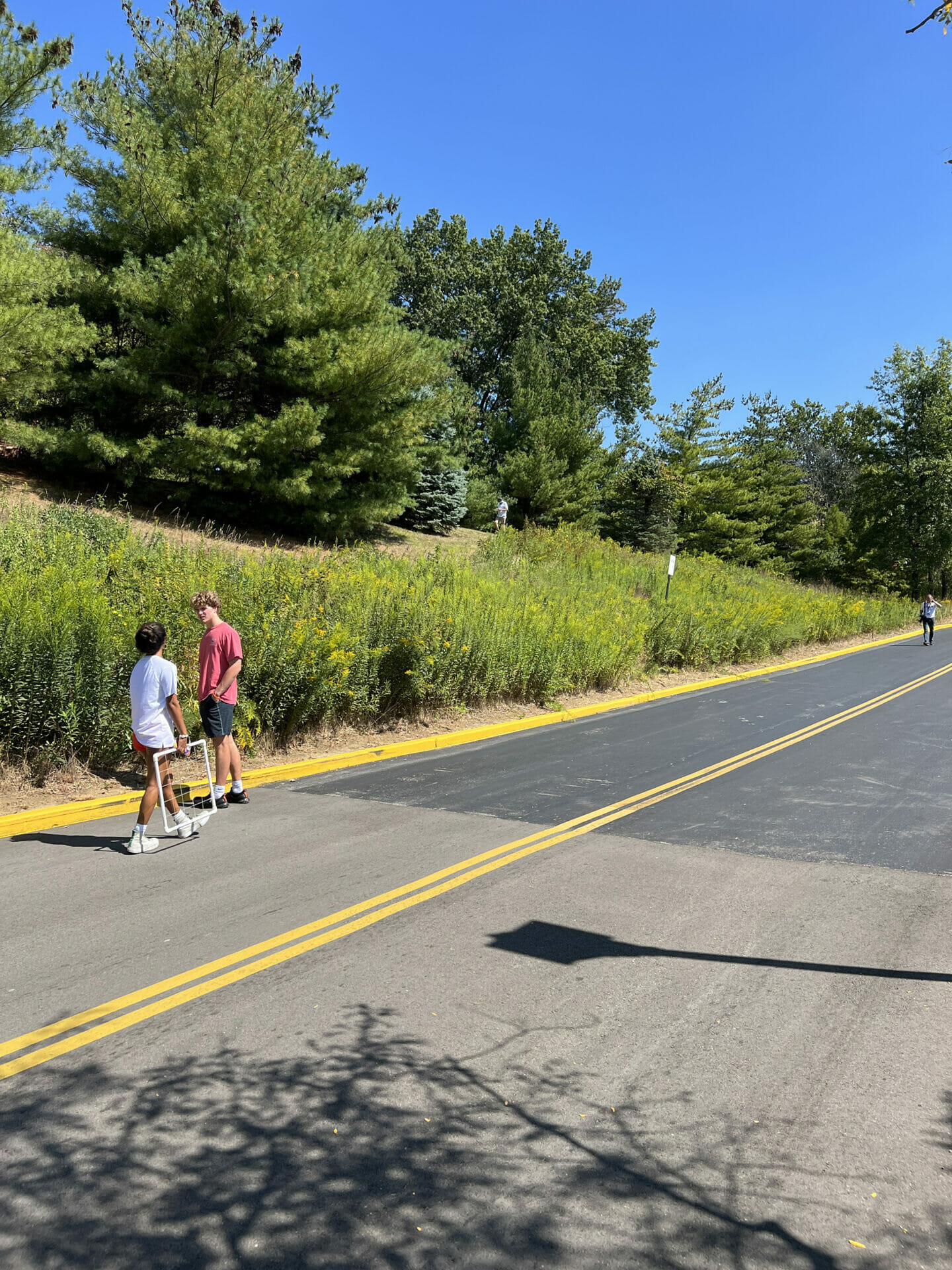
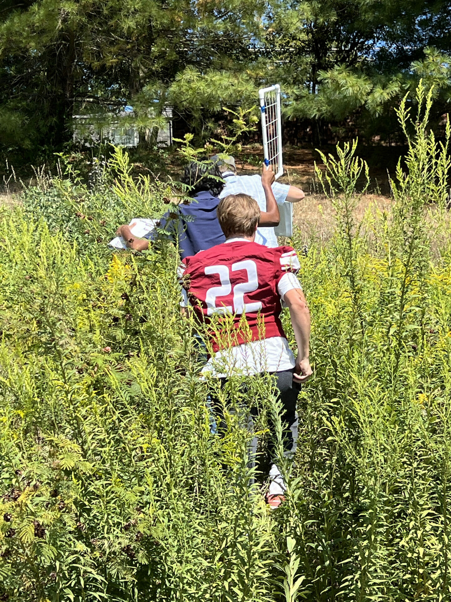
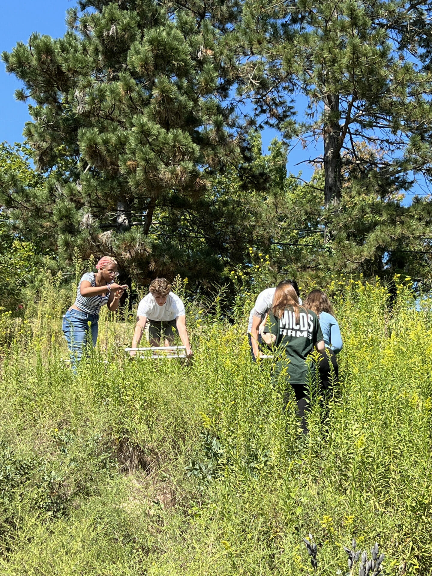
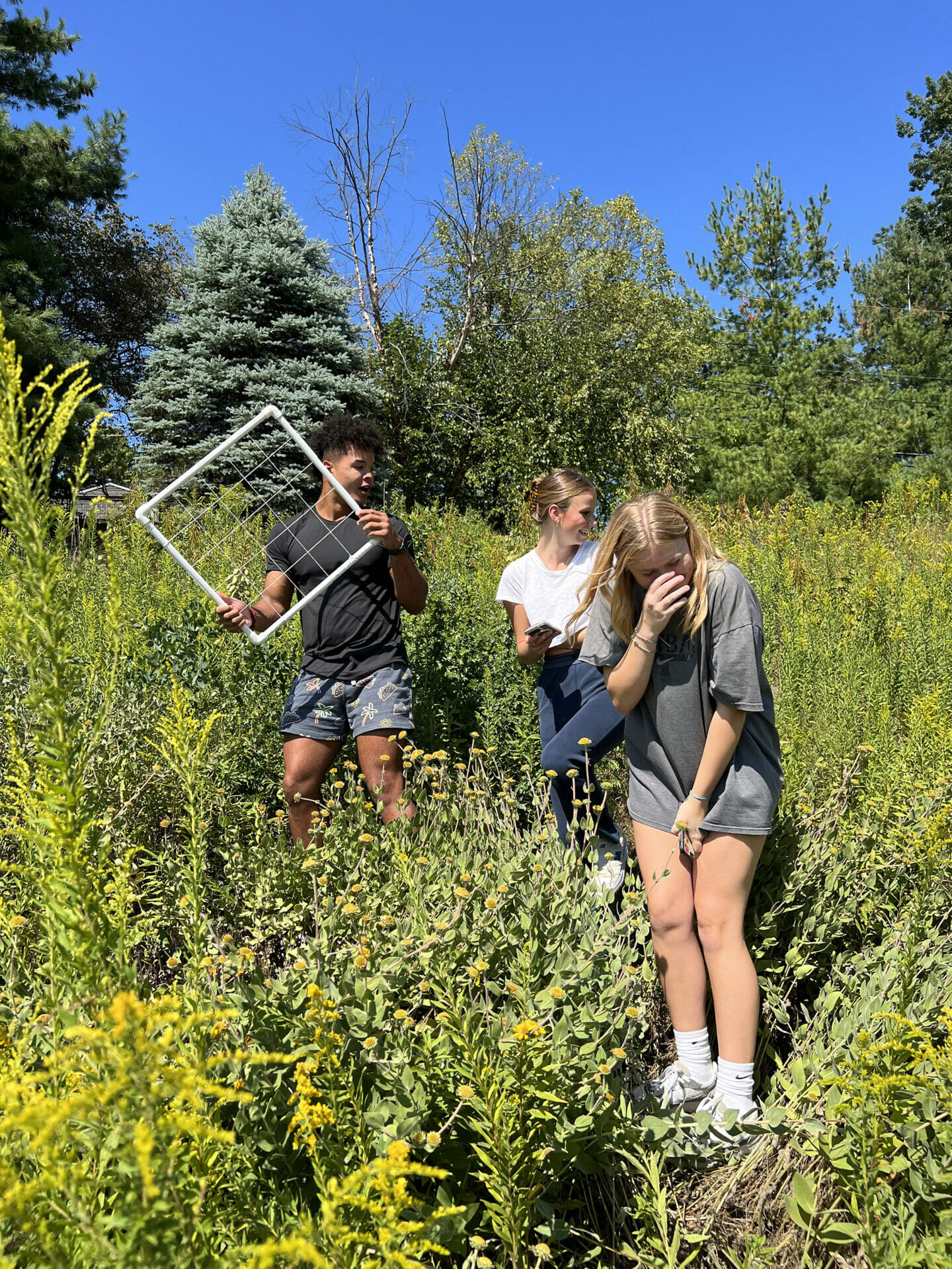
First, the classes observed the Prairie Restoration Zone at MICDS. From there, they hit the Biggs Family Makerspace to design and build a quadrat to determine the percent of groundcover in areas of the zone. A quadrat is a frame, traditionally square, used in ecology, geography, and biology to isolate a standard unit of area for study of the distribution of an item over a large area.
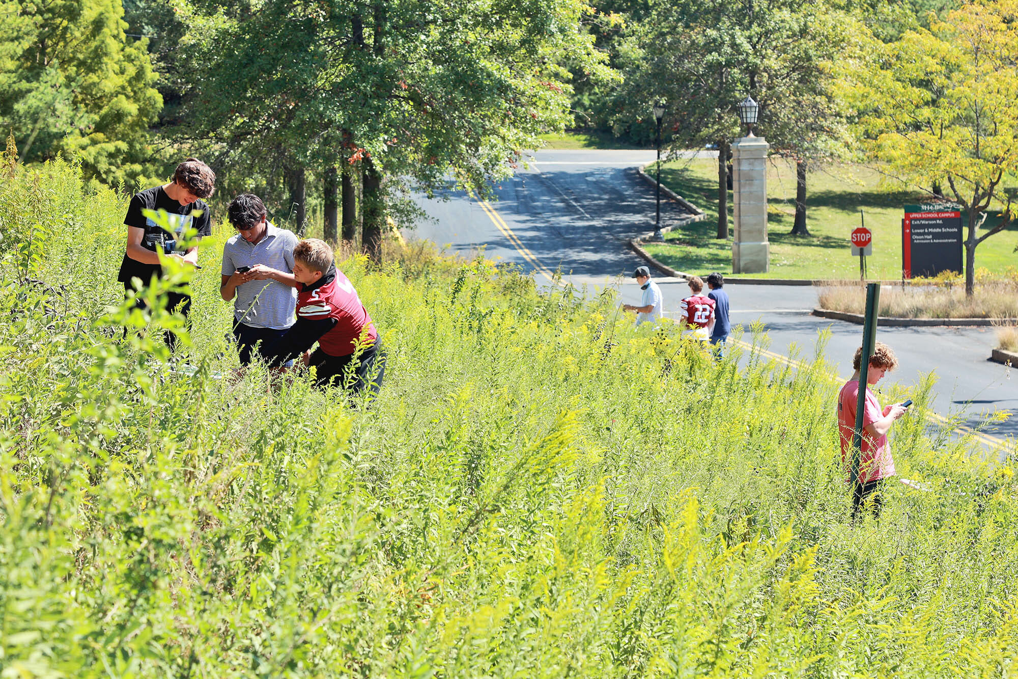
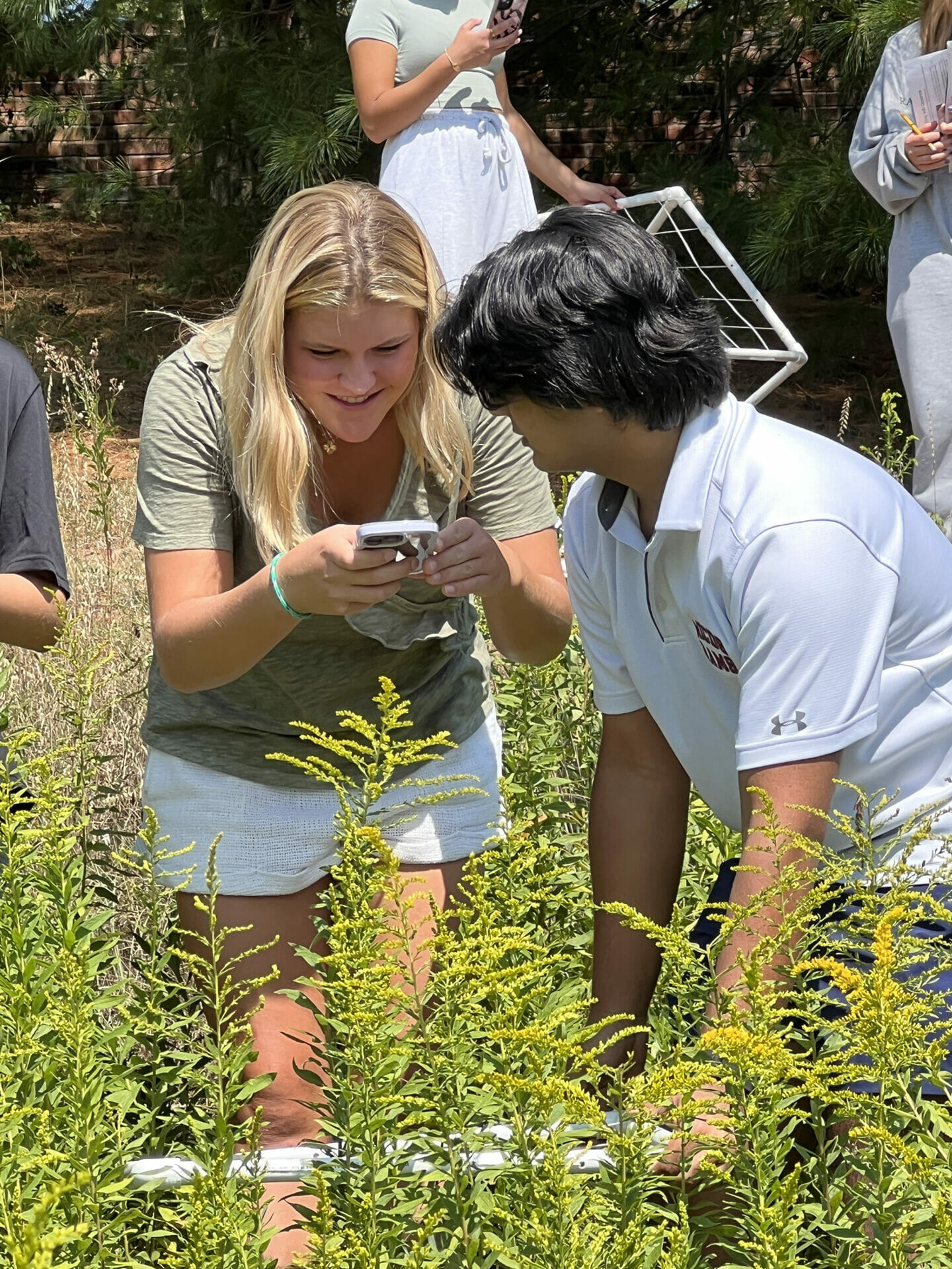
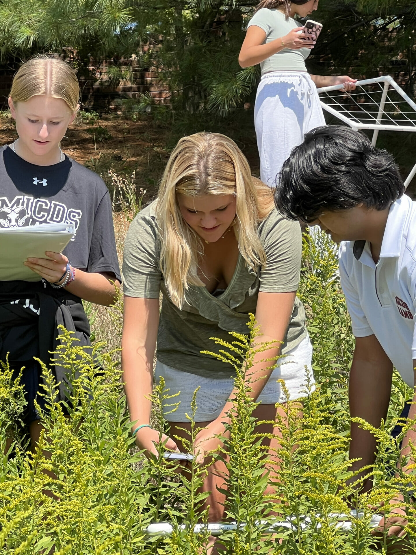
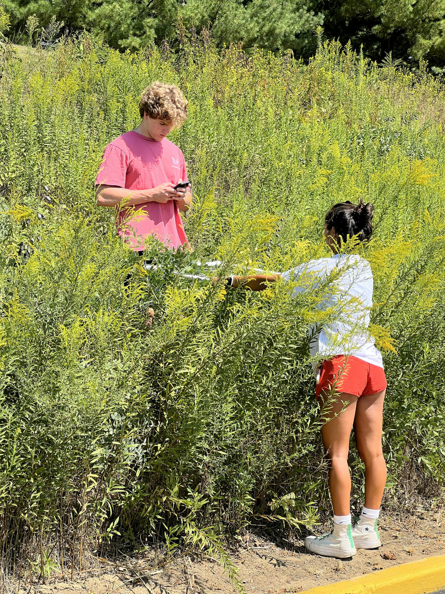
After learning about random sampling with quadrats, the students located the randomly selected areas of the prairie zone to investigate. They carefully photographed their quadrats, uploading their tagged images to a central Google folder for the class. With their images, students are able to analyze what they see, determining which species are present and in what percentages. They then input their findings to a shared class data sheet.
A thorough analysis requires comparing data from one sample to another. That’s why Pickett and her colleague, Upper School Science Teacher Andi Galluppi, are heading to Shaw Nature Reserve on Monday, September 25, to gather information there. They’ll also use quadrats and photographs, uploading the images to the database for students to study. This will help the teams determine if the restored prairie on the campus of MICDS is a healthy and representative prairie ecosystem. They will compare and contrast the data from each location to determine if the restoration zone at MICDS is similar or different to the prairie at Shaw Nature Reserve, before conducting a Chi Square analysis to determine whether the difference is significant.
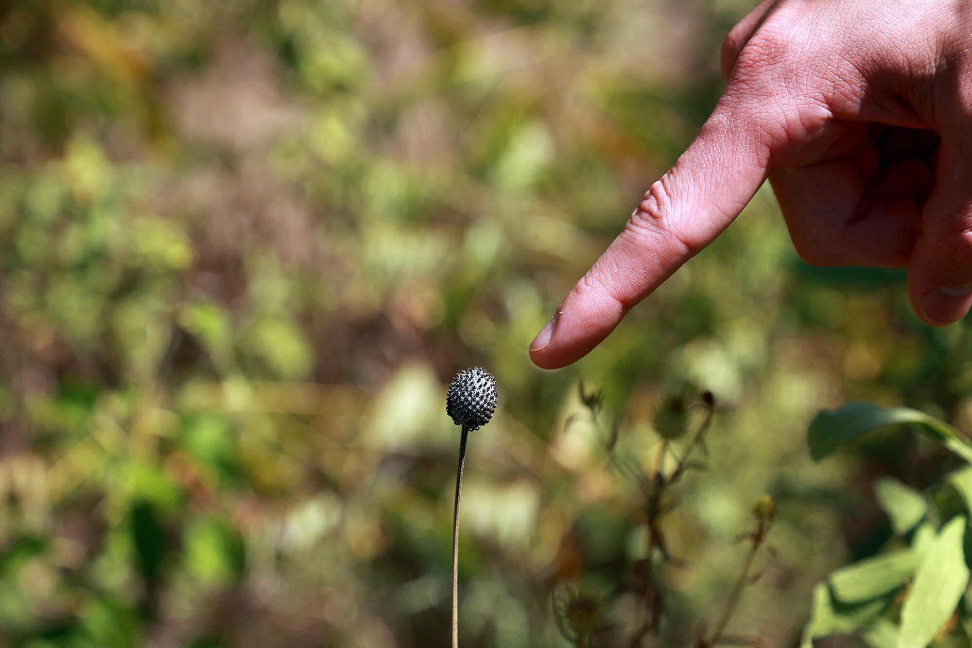
«I find the identification of plant species in the prairie interesting,» said Megan David ’25. «We are learning about how the school prairie relates to a prairie in Shaw Nature Reserve, and observing the species found in the prairies (what’s different between them) is fun.»
«This lesson incorporates the following Integrated STEM Practices (ISPs) into student learning: Use critical and creative thinking to define challenges and seek solutions, collaborate and use appropriate tools to engage in iterative design, communicate solutions based on evidence and data, and recognize and use structures in real-world systems,» explained Pickett.
Data is great, but it’s more powerful when it is shared effectively. The final steps in this project involve producing a website that documents the investigation and provides solutions and/or actions to give to an authentic audience of school community stakeholders for continued restoration of the school prairie, and composing a letter to Head of School Jay Rainey, that explores the two on-campus investigations they have concluded: an earlier project involving Polk Pond, and this Prairie Restoration Zone.
What a great, immersive experience for our students and a gift back to our community with vital information we can use to continue supporting our Native Prairie Restoration project!

