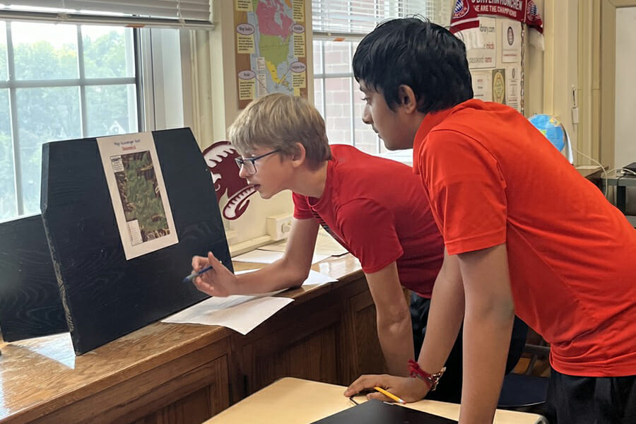
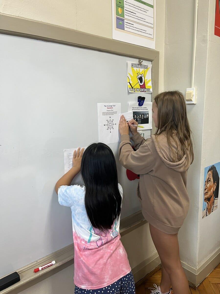
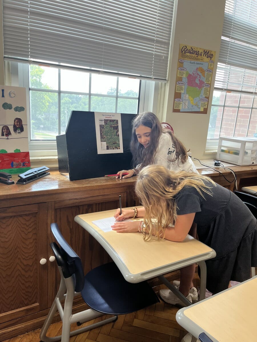
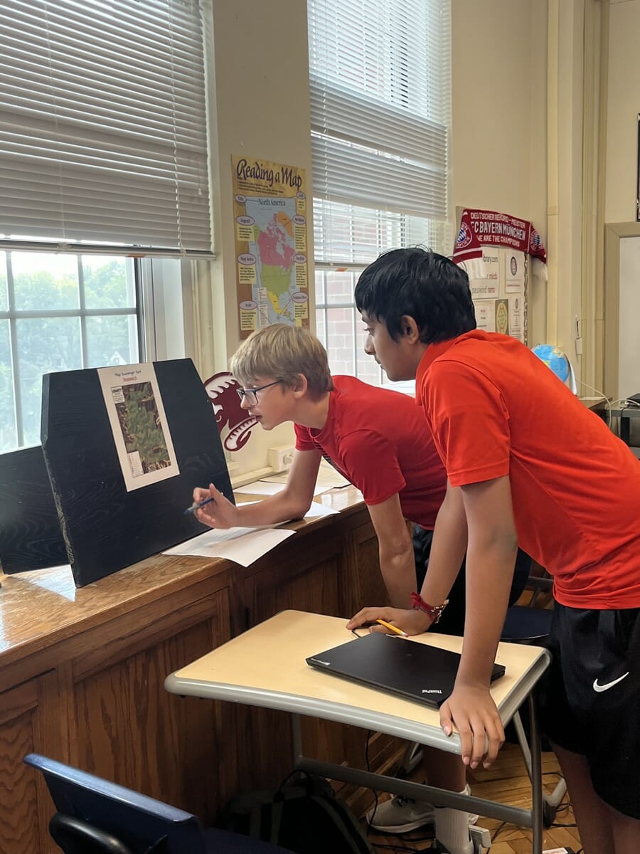
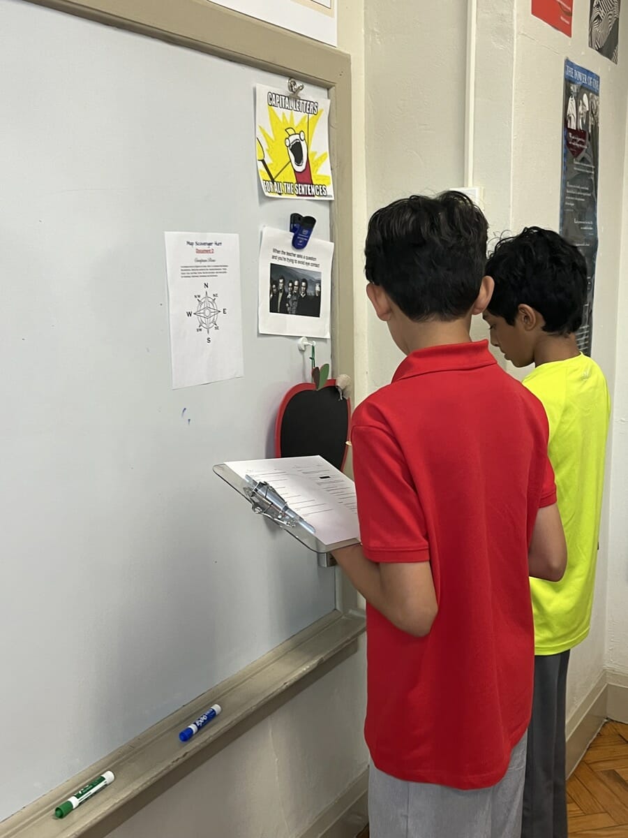
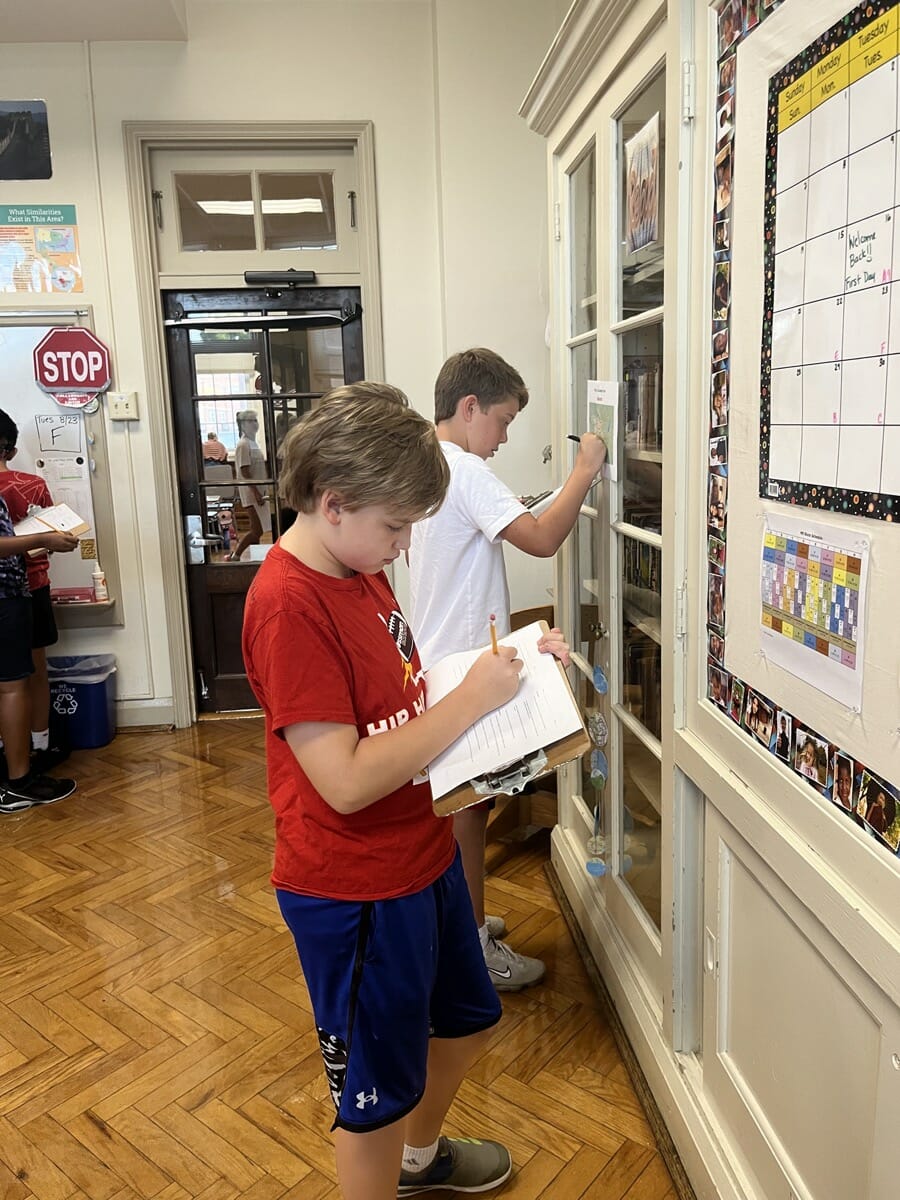
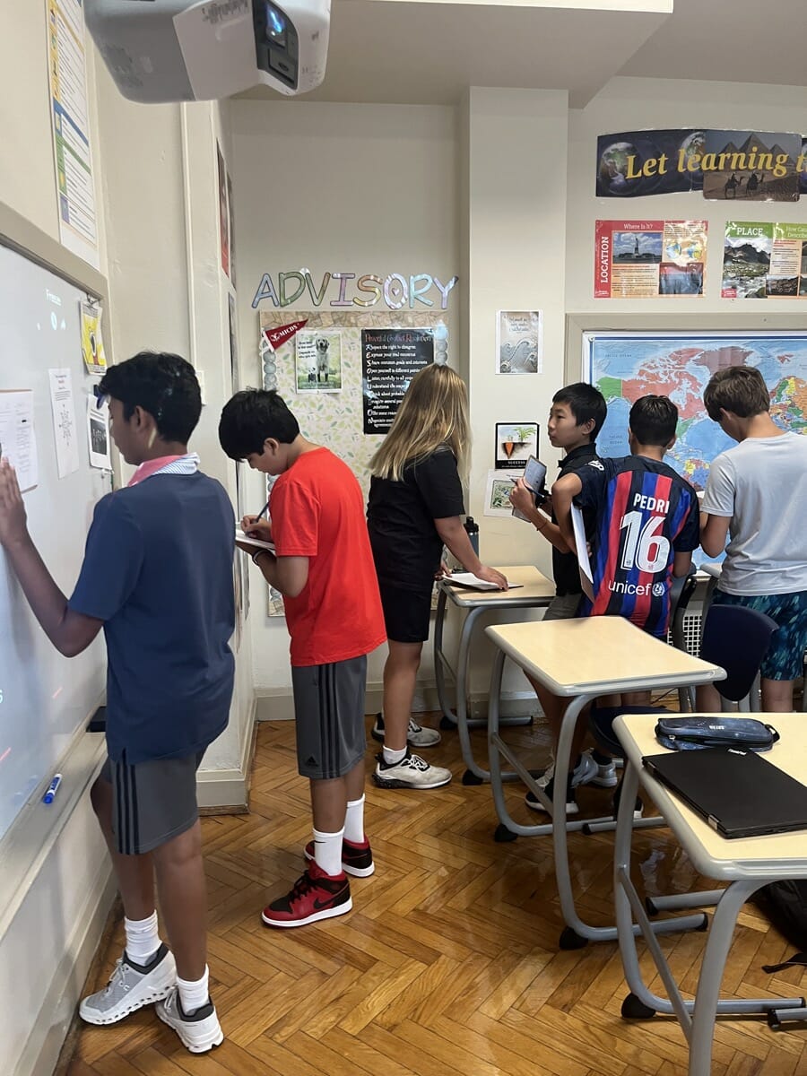
Seventh graders in the Global Perspectives history classes spent time getting familiar with maps last week, laying the foundation for a solid understanding that will support their learning and understanding throughout the year and the rest of their lives. The history team developed a hands-on activity that encouraged students to get up and move above, study different maps, and develop an understanding of how to read various cartography.
The goal of the project was to give students an opportunity get familiar with different maps and their various components. Middle School History Teachers Berta Simic and Blake Whitney challenged students to consider what information they can gather from maps, and what tools are available on maps to help them learn and understand.
The students moved around the room to study cartography such as regional political maps, a map of Forest Park, and a map of Greensfelder Park. They learned about titling, the scale bar and how to use it, the legend or key, and the compass rose. There were also stations that contained detailed images of parts of maps. For instance, one station was a compass rose. Students used the compass rose to answer questions like, “If I was traveling north and made a right turn, what direction would I be going in?” The students had to use the information they found at each station to answer questions, making it an active “document-based questions” program.
These burgeoning historians immediately put their new map skills to use, applying their map knowledge to analyze new (to them) cartography and mapping St. Louis while identifying major highways, neighborhoods, rivers, and landmarks.
“There was a lot of positive feedback from students,” Simic said.
“I really like working on maps in history class because I love that there are different types of maps,” said Elise Tourais ’28. “For example, some are maps of the world and others are maps of maybe the Silk Trade route! I thought that that was really fun to learn about and I love my teacher!”
Isolde Scoville ’28 said, “I really enjoy learning about where things are on the maps. It’s cool to find your house and landmarks!” Kennan Miller ’28 agreed. She said, “I would say it was cool to learn about maps. Also making our own map of St. Louis to prove our knowledge was even cooler.”
Luke Peritore ’28 said, “I had a lot of fun doing this project. It was really fun and engaging.”
